Loading...
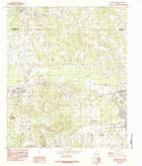
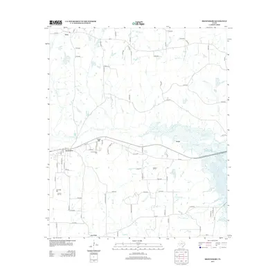
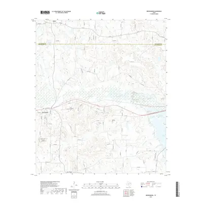
Loading map...1984 Map of Brownsboro
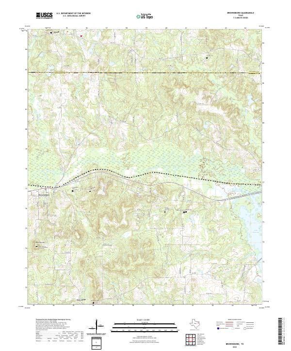
USGS Topo · Published 1984About this map
Brownsboro serves as the primary hub of this East Texas landscape, situated just south of the Van Zandt Co and Henderson Co line. The map reveals a transition from the agricultural uplands near Edom and Union Hill down toward the southeastern water systems. This area is defined by its complex drainage network, where Kickapoo Creek and its many tributaries, such as Candy Branch and Willow Branch, eventually meet the rising waters of Lake Palestine.
Find a feature on this map
22 named features on this map. Tap any name to fly to it.
Don’t see what you’re looking for? This feature index may not catch every label — zoom into the map to look around manually.
Map Details
Date Portrayed1984
Date Published1984
PublisherU.S. Geological Survey
Map TypeTopographic
Scale1:24,000
Physical Dimensions23 x 26.9 inches
Editions of this 1984 Brownsboro Map
This is the sole edition of this map. No revisions or reprints were ever made.
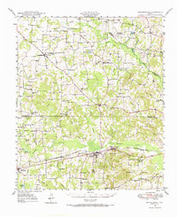
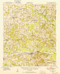
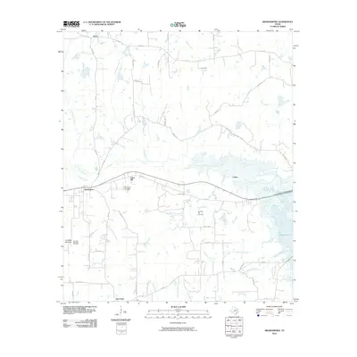
Historical Maps of Brownsboro Through Time
8 maps found

Featured Locations
Source Details
SourceU.S. Geological Survey
CopyrightPublic Domain