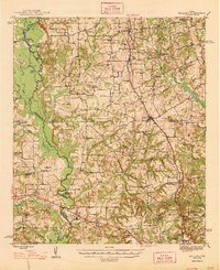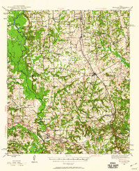
1946 Map of Bullard
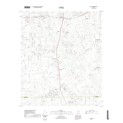
USGS Topo · Published 1960About this map
St Louis Southwestern and Southern Pacific rail lines anchor the landscape of East Texas during this mid-century survey, connecting agricultural hubs and rural communities. The map captures the meeting of Smith, Henderson, Cherokee, and Anderson counties, a region defined by the winding course of the Neches River and its associated wetlands like Big Eddy Lake and Flag Lakes. This period shows a dense network of country schools and churches that served as the social backbone for dispersed settlements such as Noonday, Gresham, and Teaselville.
Find a feature on this map
69 named features on this map. Tap any name to fly to it.
Don’t see what you’re looking for? This feature index may not catch every label — zoom into the map to look around manually.
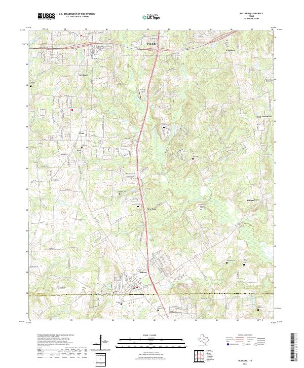
Map Details
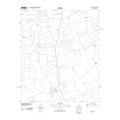
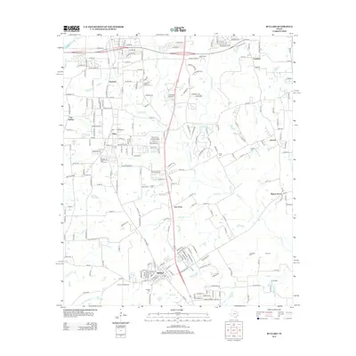
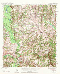
Editions of this 1946 Bullard Map
2 editions found
Historical Maps of Tyler Through Time
8 maps found