
1966 Map of Chandler
USGS Topo · Published 1967About this map
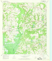
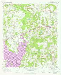
Chandler serves as the primary hub on this East Texas survey, where the St Louis Southwestern railroad cuts through the landscape. The map illustrates the shifting geography of the late 1960s and early 1970s, most notably the expansion of Lake Palestine along the Neches River. This massive reservoir dominates the southwestern portion of the sheet, partially submerging the lowland creek bottoms that once defined the Henderson and Smith county lines.
Find a feature on this map
31 named features on this map. Tap any name to fly to it.
Don’t see what you’re looking for? This feature index may not catch every label — zoom into the map to look around manually.
Map Details
Editions of this 1966 Chandler Map
Other maps of this area

1946 · Bullard
USGS Topo · 1:62,500

1948 · Bullard
USGS Topo · 1:62,500

1948 · Tyler
USGS Topo · 1:62,500

1948 · Brownsboro
USGS Topo · 1:62,500

1949 · Tyler
USGS Topo · 1:62,500

1949 · Brownsboro
USGS Topo · 1:62,500

1949 · Frankston
USGS Topo · 1:62,500

1950 · Frankston
USGS Topo · 1:62,500

1956 · Tyler
USGS Topo · 1:250,000
1966 · Tyler North
USGS Topo · 1:24,000