
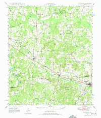
1949 Map of Frankston
USGS Topo · Published 1964About this map
Frankston serves as a primary hub for this East Texas region, where the Southern Pacific railroad cuts through the terrain near the Henderson and Anderson county line. The landscape is dotted with small, dispersed agricultural communities like Fincastle, Moores Station, and Leagueville. This mid-century survey, based on 1940s field work and photography, reveals a dense network of rural infrastructure, including the Lapoynor Sch and Central High Sch.
Find a feature on this map
50 named features on this map. Tap any name to fly to it.
Don’t see what you’re looking for? This feature index may not catch every label — zoom into the map to look around manually.
Map Details
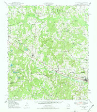
Editions of this 1949 Frankston Map
3 editions found
Other maps of this area

1946 · Bullard
USGS Topo · 1:62,500

1948 · Bullard
USGS Topo · 1:62,500

1948 · Tyler
USGS Topo · 1:62,500

1948 · Brownsboro
USGS Topo · 1:62,500

1948 · Martins Mill
USGS Topo · 1:62,500

1949 · Tyler
USGS Topo · 1:62,500

1949 · Martins Mill
USGS Topo · 1:62,500

1949 · Brownsboro
USGS Topo · 1:62,500

1949 · Palestine
USGS Topo · 1:62,500

1949 · Athens
USGS Topo · 1:62,500