
1949 Map of Athens
USGS Topo · Published 1966About this map
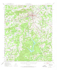
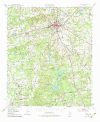
Athens serves as the regional hub at the convergence of the St Louis Southwestern and Southern Pacific railroads, a vital transportation junction in East Texas during the late 1940s. The landscape is dotted with rural education and spiritual centers, such as Gum Creek Sch and Beck Chapel, which anchored the small communities of Dauphin and Midway. To the south, the Henderson-Anderson county line cuts through a territory defined by intricate creek systems including Coon Creek and Catfish Creek. Smaller industry is evident at the Clay Pit and an Inactive Mine, while the Fish and Game Club near Underwood Lake points to the area's long-standing recreational character. The map preserves the locations of numerous family-linked burial grounds like Richardson Cem and Barker Cem, providing essential data for local family historians.
Find a feature on this map
64 named features on this map. Tap any name to fly to it.
Don’t see what you’re looking for? This feature index may not catch every label — zoom into the map to look around manually.
Map Details
Editions of this 1949 Athens Map
3 editions found
Other maps of this area

1920 · Kemp
USGS Topo · 1:62,500

1948 · Brownsboro
USGS Topo · 1:62,500

1948 · Martins Mill
USGS Topo · 1:62,500

1949 · Martins Mill
USGS Topo · 1:62,500

1949 · Brownsboro
USGS Topo · 1:62,500

1949 · Palestine
USGS Topo · 1:62,500

1949 · Frankston
USGS Topo · 1:62,500

1949 · Tennessee Colony
USGS Topo · 1:62,500

1950 · Athens
USGS Topo · 1:62,500

1950 · Palestine
USGS Topo · 1:62,500