
1949 Map of Palestine
USGS Topo · Published 1962About this map
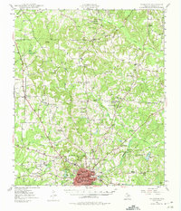
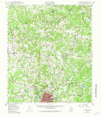
The railroad hub of Palestine anchors this mid-century survey of Anderson County, showing a detailed network of segregated schools and rural congregations during a period of steady growth. The town's educational landscape is deeply mapped, featuring institutional landmarks like Crockett High Sch, Lincoln High Sch, and Lamar Elem Sch, while the outlying areas are dotted with community-centered locations such as Jerusalem Sch and Union Academy. The Missouri Pacific railroad lines converge in the city, supporting the local economy alongside the Municipal Airport and the nearby Fish Hatchery.
Find a feature on this map
73 named features on this map. Tap any name to fly to it.
Don’t see what you’re looking for? This feature index may not catch every label — zoom into the map to look around manually.
Map Details
Editions of this 1949 Palestine Map
Other maps of this area

1946 · Bullard
USGS Topo · 1:62,500

1948 · Bullard
USGS Topo · 1:62,500

1949 · Frankston
USGS Topo · 1:62,500

1949 · Athens
USGS Topo · 1:62,500

1949 · Tennessee Colony
USGS Topo · 1:62,500

1950 · Athens
USGS Topo · 1:62,500

1950 · Palestine
USGS Topo · 1:62,500

1950 · Frankston
USGS Topo · 1:62,500

1950 · Tennessee Colony
USGS Topo · 1:62,500

1951 · Elkhart
USGS Topo · 1:62,500