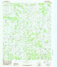
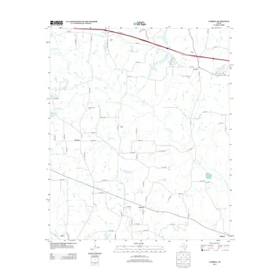
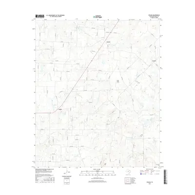
1948 Map of Martins Mill
USGS Topo · Published 1974About this map
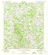
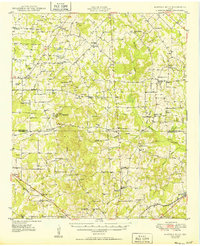
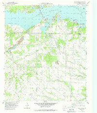
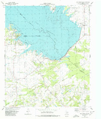
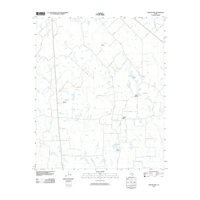
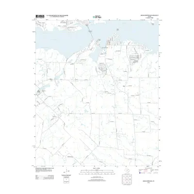
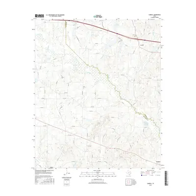
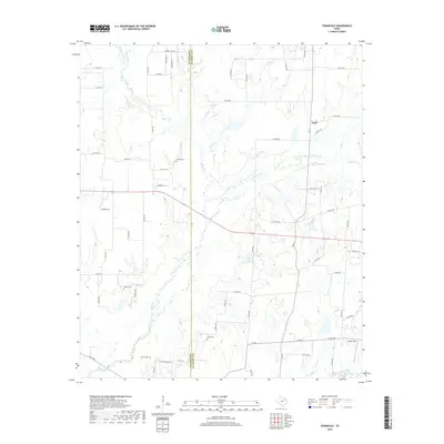
Martins Mills stands as the central hub of this East Texas landscape, which is defined by a dense network of rural schools and churches that speak to the established agricultural communities of the late 1940s. The terrain transitions across the Van Zandt Co and Henderson Co line, where the complex drainage of Kickapoo Creek and Pottawatomie Creek creates a winding system of bottomlands. Cultural landmarks such as Pottawatomie Ch and China Grove Sch illustrate the importance of local social centers in an era before widespread school consolidation.
Find a feature on this map
67 named features on this map. Tap any name to fly to it.
Don’t see what you’re looking for? This feature index may not catch every label — zoom into the map to look around manually.
Map Details
Editions of this 1948 Martins Mill Map
This is the sole edition of this map. No revisions or reprints were ever made.
Historical Maps of Eustace Through Time
44 maps found
1948 Martins Mill
Van Zandt County, TX
1949 Martins Mill
Van Zandt County, TX
1962 Cedarvale
Van Zandt County, TX
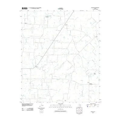
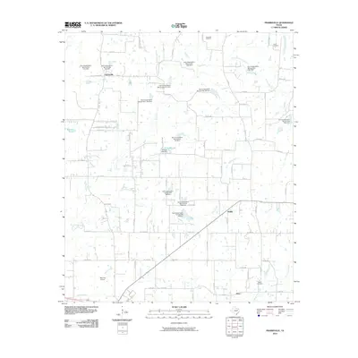
1962 Prairieville
Van Zandt County, TX
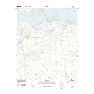
1979 Ables Springs
Van Zandt County, TX
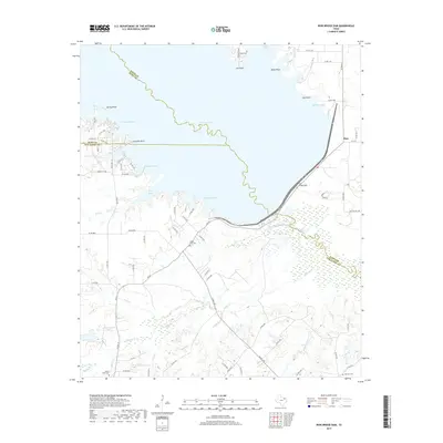
1980 Iron Bridge Dam
Van Zandt County, TX
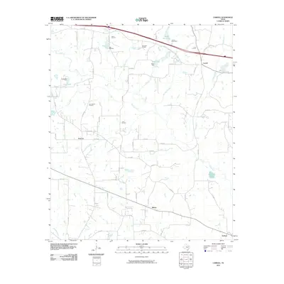
1984 Carroll
Van Zandt County, TX
1984 Martins Mill
Van Zandt County, TX
1984 Phalba
Van Zandt County, TX
2010 Carroll
Van Zandt County, TX
2010 Cedarvale
Van Zandt County, TX
2010 Iron Bridge Dam
Van Zandt County, TX
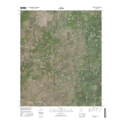
2010 Martins Mill
Van Zandt County, TX
2010 Phalba
Van Zandt County, TX
2010 Prairieville
Van Zandt County, TX
2011 Ables Springs
Van Zandt County, TX
2012 Ables Springs
Van Zandt County, TX
2012 Cedarvale
Van Zandt County, TX
2012 Iron Bridge Dam
Van Zandt County, TX
2012 Prairieville
Van Zandt County, TX
2013 Carroll
Van Zandt County, TX
2013 Martins Mill
Van Zandt County, TX
2013 Phalba
Van Zandt County, TX
2016 Ables Springs
Van Zandt County, TX
2016 Carroll
Van Zandt County, TX
2016 Cedarvale
Van Zandt County, TX
2016 Iron Bridge Dam
Van Zandt County, TX
2016 Martins Mill
Van Zandt County, TX
2016 Phalba
Van Zandt County, TX
2016 Prairieville
Van Zandt County, TX
2019 Ables Springs
Van Zandt County, TX
2019 Carroll
Van Zandt County, TX
2019 Cedarvale
Van Zandt County, TX
2019 Iron Bridge Dam
Van Zandt County, TX
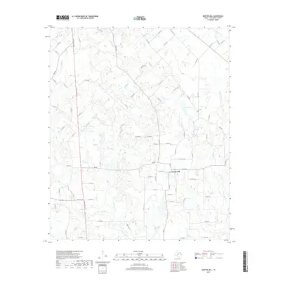
2019 Martins Mill
Van Zandt County, TX
2019 Phalba
Van Zandt County, TX
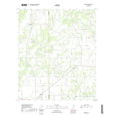
2019 Prairieville
Van Zandt County, TX
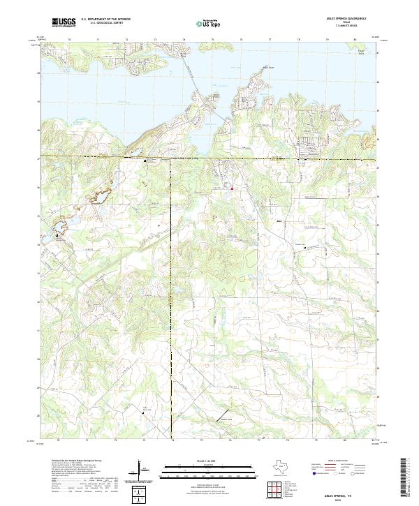
2022 Ables Springs
Van Zandt County, TX
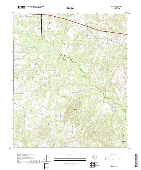
2022 Carroll
Van Zandt County, TX
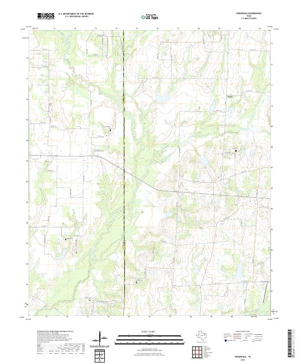
2022 Cedarvale
Van Zandt County, TX
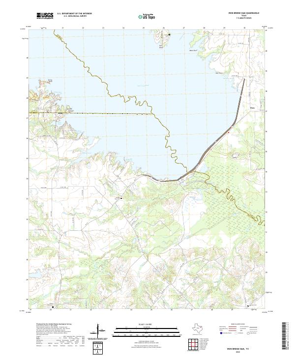
2022 Iron Bridge Dam
Van Zandt County, TX
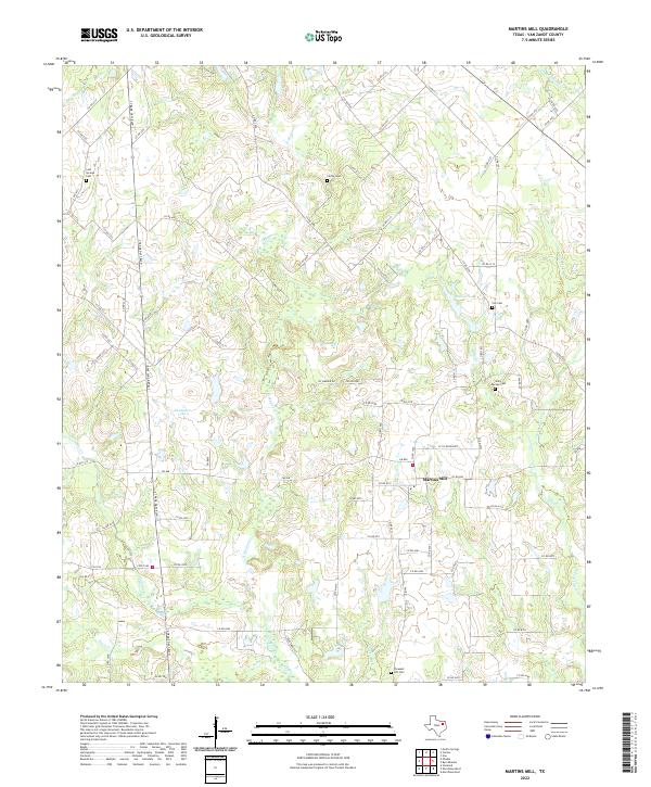
2022 Martins Mill
Van Zandt County, TX
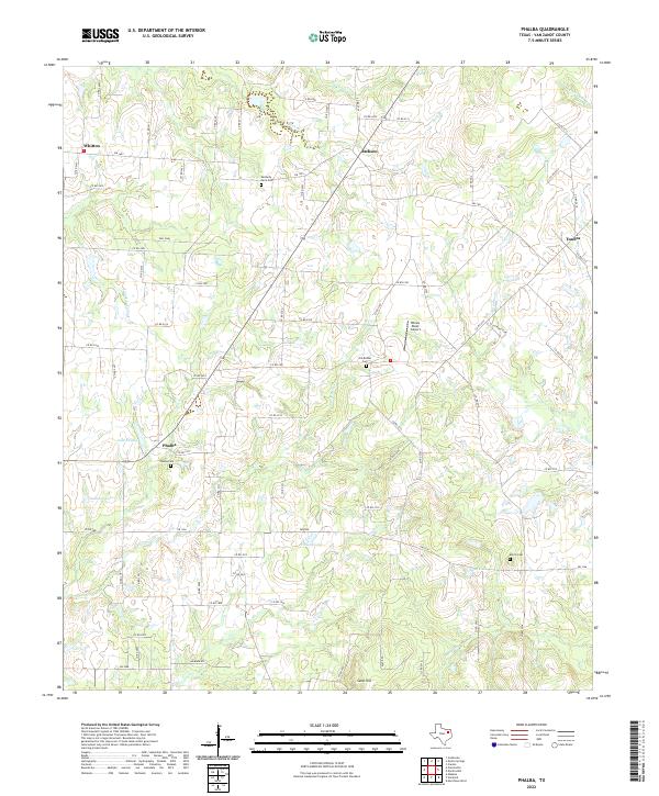
2022 Phalba
Van Zandt County, TX
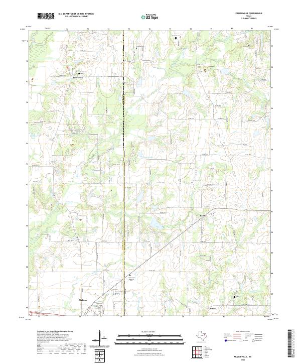
2022 Prairieville
Van Zandt County, TX