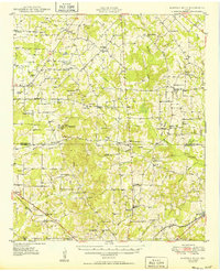
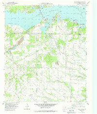
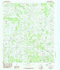
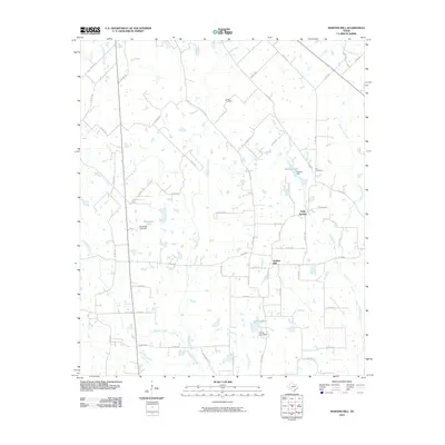
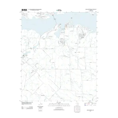
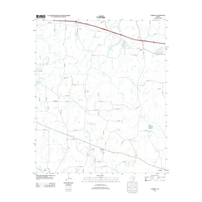
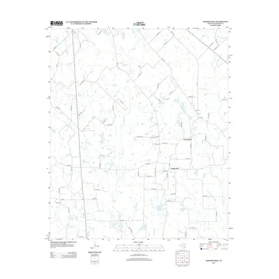
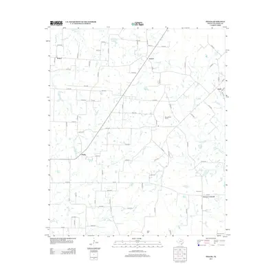
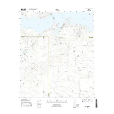
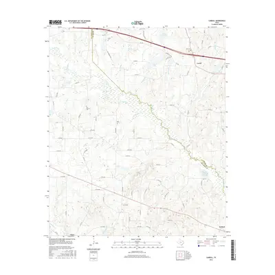
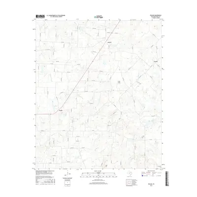
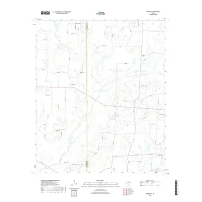
1949 Map of Martins Mill
USGS Topo · Published 1949About this map
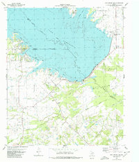
Martins Mills serves as a central hub in this post-war rural landscape, anchoring a network of family-named crossroads and country schools across the Van Zandt Co and Henderson Co line. The topography is defined by the winding drainages of Kickapoo Creek and Cedar Creek, punctuated by landmarks like Big Rock Top and Sand Hill. This 1949 survey reflects a time when small community centers like Tundra, Phalba, and Stockard remained vital, each supported by local institutions such as Lone Star Sch, China Grove Sch, and Bethel Ch.
Find a feature on this map
69 named features on this map. Tap any name to fly to it.
Don’t see what you’re looking for? This feature index may not catch every label — zoom into the map to look around manually.
Map Details
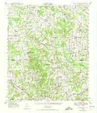
Editions of this 1949 Martins Mill Map
This is the sole edition of this map. No revisions or reprints were ever made.
Historical Maps of Eustace Through Time
44 maps found
1948 Martins Mill
Van Zandt County, TX
1949 Martins Mill
Van Zandt County, TX
1962 Cedarvale
Van Zandt County, TX
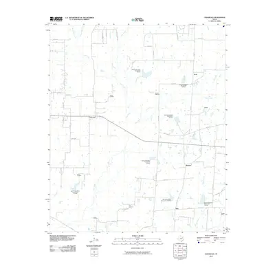
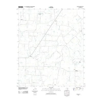
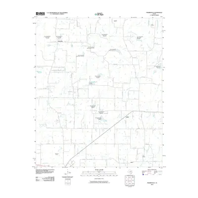
1962 Prairieville
Van Zandt County, TX
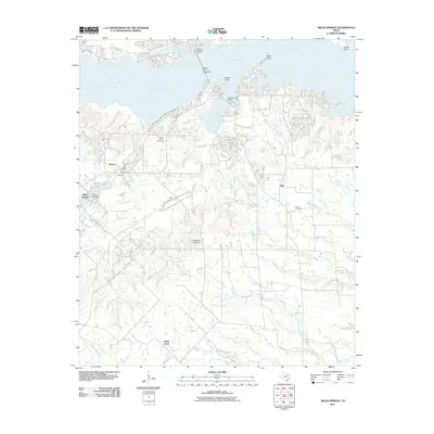
1979 Ables Springs
Van Zandt County, TX
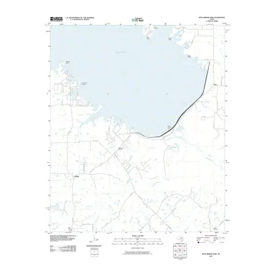
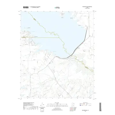
1980 Iron Bridge Dam
Van Zandt County, TX
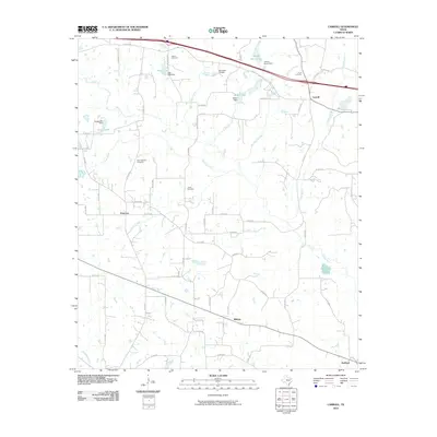
1984 Carroll
Van Zandt County, TX
1984 Martins Mill
Van Zandt County, TX
1984 Phalba
Van Zandt County, TX
2010 Carroll
Van Zandt County, TX
2010 Cedarvale
Van Zandt County, TX
2010 Iron Bridge Dam
Van Zandt County, TX
2010 Martins Mill
Van Zandt County, TX
2010 Phalba
Van Zandt County, TX
2010 Prairieville
Van Zandt County, TX
2011 Ables Springs
Van Zandt County, TX
2012 Ables Springs
Van Zandt County, TX
2012 Cedarvale
Van Zandt County, TX
2012 Iron Bridge Dam
Van Zandt County, TX
2012 Prairieville
Van Zandt County, TX
2013 Carroll
Van Zandt County, TX
2013 Martins Mill
Van Zandt County, TX
2013 Phalba
Van Zandt County, TX
2016 Ables Springs
Van Zandt County, TX
2016 Carroll
Van Zandt County, TX
2016 Cedarvale
Van Zandt County, TX
2016 Iron Bridge Dam
Van Zandt County, TX
2016 Martins Mill
Van Zandt County, TX
2016 Phalba
Van Zandt County, TX
2016 Prairieville
Van Zandt County, TX
2019 Ables Springs
Van Zandt County, TX
2019 Carroll
Van Zandt County, TX
2019 Cedarvale
Van Zandt County, TX
2019 Iron Bridge Dam
Van Zandt County, TX
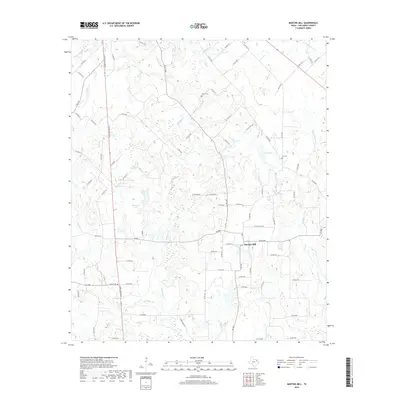
2019 Martins Mill
Van Zandt County, TX
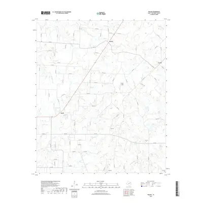
2019 Phalba
Van Zandt County, TX
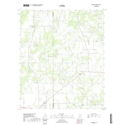
2019 Prairieville
Van Zandt County, TX
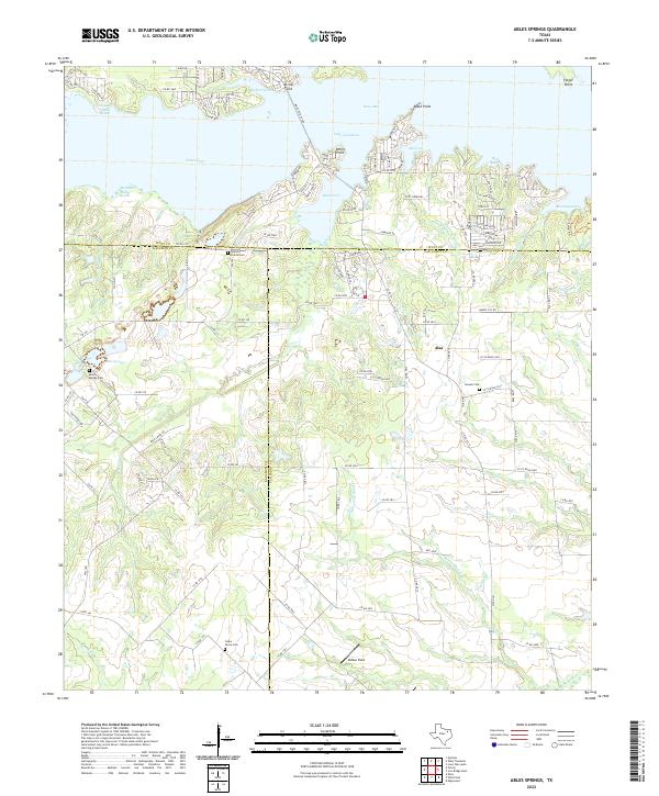
2022 Ables Springs
Van Zandt County, TX
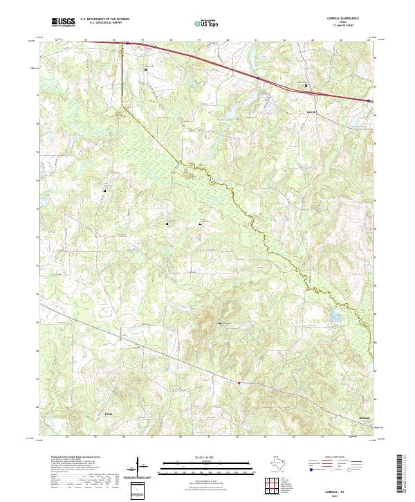
2022 Carroll
Van Zandt County, TX
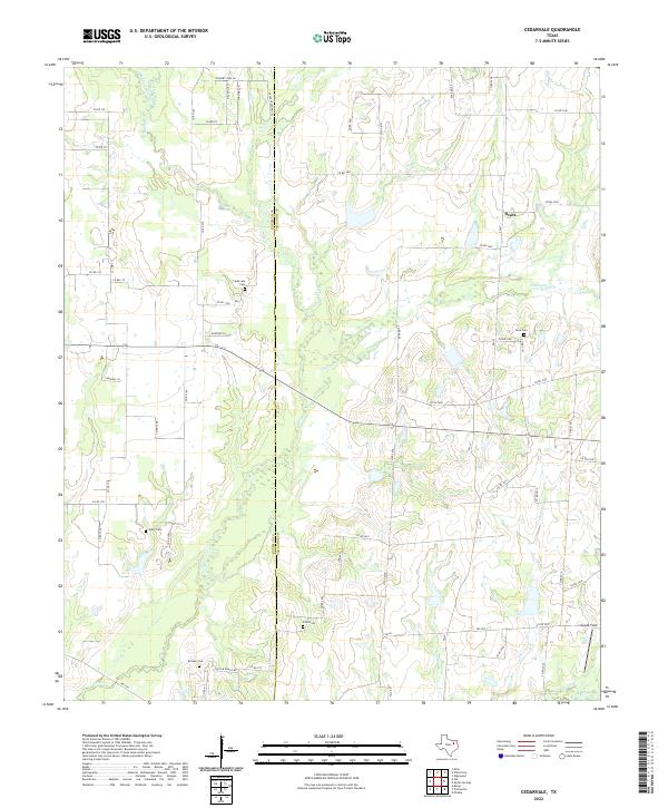
2022 Cedarvale
Van Zandt County, TX
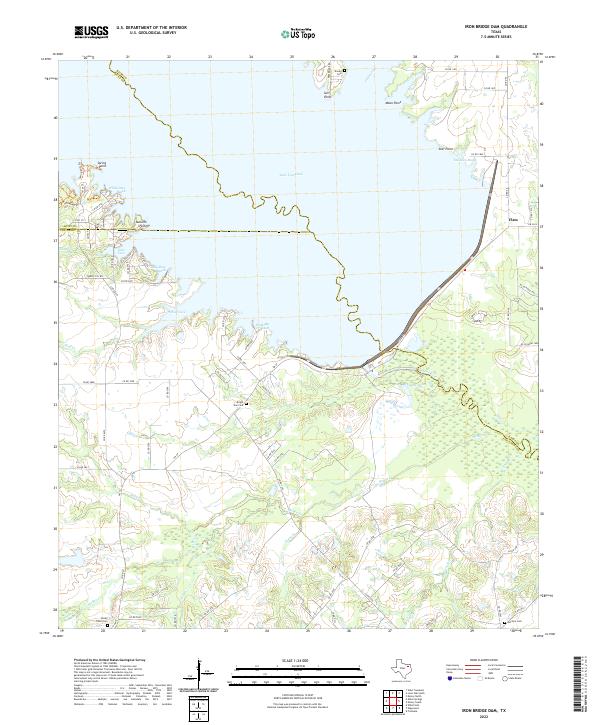
2022 Iron Bridge Dam
Van Zandt County, TX
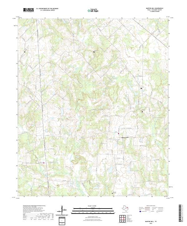
2022 Martins Mill
Van Zandt County, TX
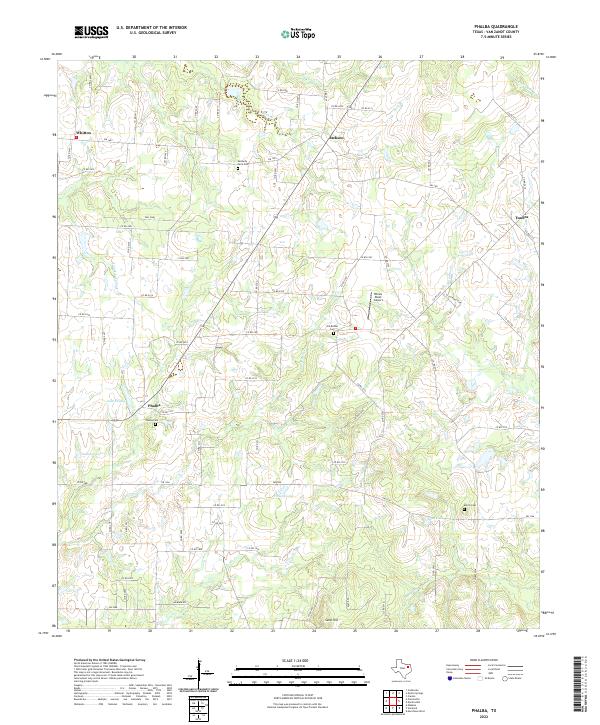
2022 Phalba
Van Zandt County, TX
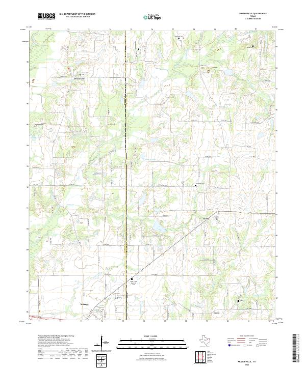
2022 Prairieville
Van Zandt County, TX