Loading...
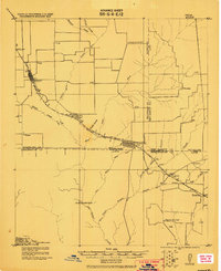
Loading map...1920 Map of Kemp
USGS Topo · Published 1920About this map
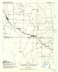
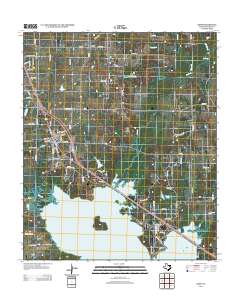
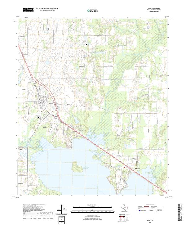
Kemp and Mabank P.O. anchor this 1920 survey of the tri-county borderlands where Kaufman, Van Zandt, and Henderson counties meet. The landscape is defined by the Texas and New Orleans Railroad, which dictates the placement of nearly every major settlement. Many of these locations are noted by their post office designations, such as Ansley (Gossett) and Pauline, indicating a period when these small rural hubs were the primary links for communication and commerce.
Find a feature on this map
34 named features on this map. Tap any name to fly to it.
Don’t see what you’re looking for? This feature index may not catch every label — zoom into the map to look around manually.
Map Details
Date Portrayed1920
Date Published1920
PublisherU.S. Geological Survey
Map TypeTopographic
Scale1:62,500
Physical Dimensions17 x 20.9 inches
Editions of this 1920 Kemp Map
This is the sole edition of this map. No revisions or reprints were ever made.
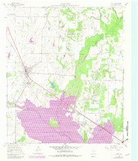
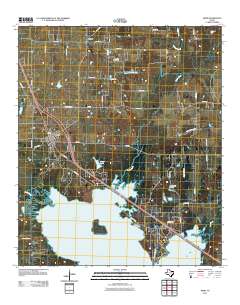
Historical Maps of Gun Barrel City Through Time
8 maps found
Featured Locations
Source Details
SourceU.S. Geological Survey
CopyrightPublic Domain