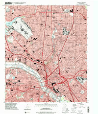
1958 Map of Dallas
USGS Topo · Published 1958About this map
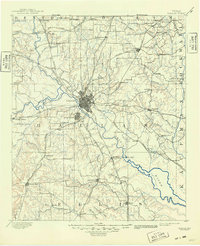
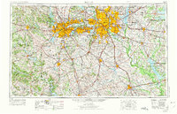
Fort Worth and Dallas dominate this mid-century landscape, appearing as expansive urban footprints connected by a burgeoning network of highways and rail lines. Before the full saturation of the modern Metroplex, distinct municipalities like Highland Park, Grand Prairie, and White Settlement maintain clear boundaries amidst the blackland prairies and cross timbers. The region's hydrologic development is well-defined by the massive Grapevine Reservoir and Eagle Mountain Lake, alongside smaller municipal landmarks like White Rock Lake and Mountain Creek Lake. Critical transportation corridors are anchored by the Texas & Pacific and Santa Fe railroads, which facilitated the growth of outlying agricultural hubs like Waxahachie, Cleburne, and Denton. To the southwest, the terrain transitions into the limestone hills and breaks of the Brazos River valley, marked by prominent landmarks such as Comanche Peak and Lone Mountain.
Find a feature on this map
89 named features on this map. Tap any name to fly to it.
Don’t see what you’re looking for? This feature index may not catch every label — zoom into the map to look around manually.
Map Details
Editions of this 1958 Dallas Map
This is the sole edition of this map. No revisions or reprints were ever made.
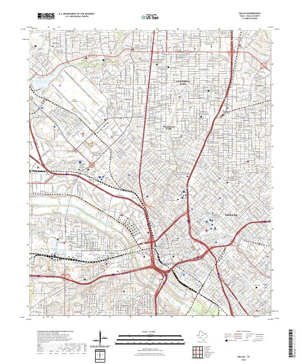
Historical Maps of Dallas Through Time
8 maps found