
1954 Map of Dallas
USGS Topo · Published 1963About this map
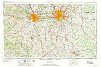
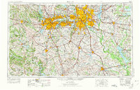
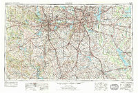
The Trinity River and its multiple forks anchor this mid-century portrait of North Texas, capturing the Dallas-Fort Worth metroplex during a period of rapid post-war expansion. The map details a complex network of reservoirs and infrastructure projects, including Grapevine Reservoir, Eagle Mountain Lake, and Lake Tawakoni, illustrating the region's managed water resources. Major military and educational institutions are well-defined, from Carswell Air Force Base and Hensley Field to campuses like Texas Christian University and Southern Methodist University.
Find a feature on this map
332 named features on this map. Tap any name to fly to it.
Don’t see what you’re looking for? This feature index may not catch every label — zoom into the map to look around manually.
Map Details
Editions of this 1954 Dallas Map
4 editions found
Other maps of this area

1888 · Hamilton
USGS Topo · 1:125,000

1888 · Meridian
USGS Topo · 1:125,000

1889 · Granbury
USGS Topo · 1:125,000

1890 · Stephenville
USGS Topo · 1:125,000

1891 · Weatherford
USGS Topo · 1:125,000

1891 · Dallas
USGS Topo · 1:125,000

1891 · Palo Pinto
USGS Topo · 1:125,000

1891 · Cleburne
USGS Topo · 1:125,000

1892 · Waco
USGS Topo · 1:125,000

1893 · Dallas
USGS Topo · 1:125,000