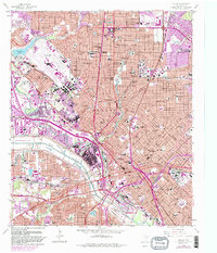
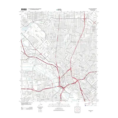
1954 Map of Dallas
USGS Topo · Published 1963About this map
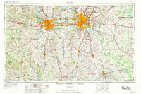
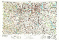
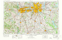
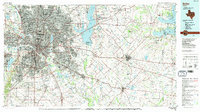
The Fort Worth and Dallas metropolitan corridor stands as the central focus of this mid-century survey, showcasing a period of rapid urban expansion and hydrological transformation. Large-scale reservoirs like Grapevine Reservoir, Lake Ray Hubbard, and Lake Tawakoni illustrate the significant civil engineering efforts undertaken to support the growing population and industrial base. The transition from agricultural rurality to suburban development is evident in the burgeoning settlements of Arlington, Grand Prairie, and Irving situated between the two major cities.
Find a feature on this map
328 named features on this map. Tap any name to fly to it.
Don’t see what you’re looking for? This feature index may not catch every label — zoom into the map to look around manually.
Map Details
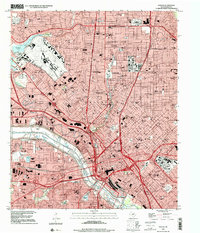
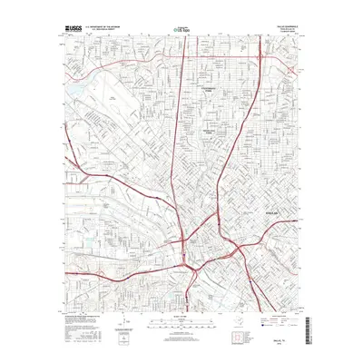
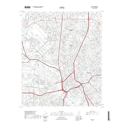
Editions of this 1954 Dallas Map
4 editions found

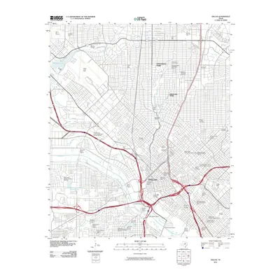
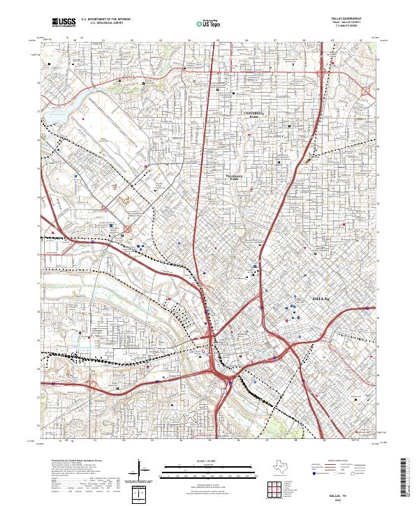
Historical Maps of Dallas Through Time
12 maps found

1891 Dallas
Dallas County, TX
1893 Dallas
Dallas County, TX
1954 Dallas
Dallas County, TX
1958 Dallas
Dallas County, TX

1958 Dallas
Dallas County, TX
1986 Dallas
Dallas County, TX
1995 Dallas
Dallas County, TX
2010 Dallas
Dallas County, TX
2012 Dallas
Dallas County, TX
2016 Dallas
Dallas County, TX
2019 Dallas
Dallas County, TX
2022 Dallas
Dallas County, TX