Loading...
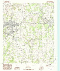
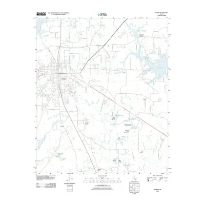
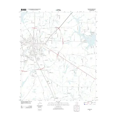
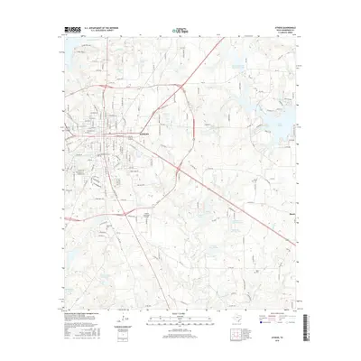
Loading map...1949 Map of Athens
USGS Topo · Published 1973About this map
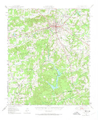
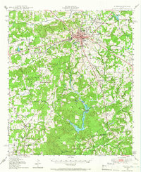
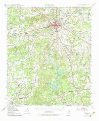
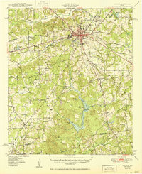
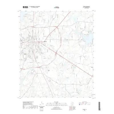
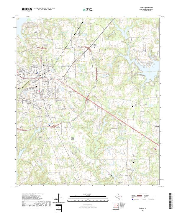
Athens serves as the primary hub of this East Texas landscape, where the Southern Pacific and St Louis Southwestern railroads intersect. The town's infrastructure includes a Junior College and High Sch, while the outlying areas are defined by a network of rural churches and family-named landmarks. The terrain is marked by significant water features such as Coon Creek Lake and Slaughter Lake, alongside various creeks including Catfish Creek and Turkey Creek that drain towards the Henderson Co and Anderson Co border.
Find a feature on this map
59 named features on this map. Tap any name to fly to it.
Don’t see what you’re looking for? This feature index may not catch every label — zoom into the map to look around manually.
Map Details
Date Portrayed1949
Date Published1973
PublisherU.S. Geological Survey
Map TypeTopographic
Scale1:62,500
Physical Dimensions18 x 21.9 inches
Editions of this 1949 Athens Map
3 editions found
Historical Maps of Athens Through Time
8 maps found
Featured Locations
Source Details
SourceU.S. Geological Survey
CopyrightPublic Domain