Loading...
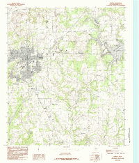
Loading map...1949 Map of Athens
USGS Topo · Published 1985About this map
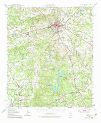
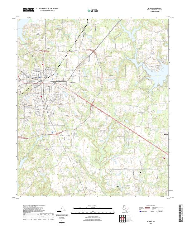
Athens serves as the central hub of this East Texas survey, where the St Louis Southwestern and Texas and New Orleans (Southern Pacific) railroads intersect. The landscape is dotted with rural community markers, including numerous country churches such as Virginia Hill Ch, Modoc Ch, and Lee Spring Ch. These small centers of worship, often paired with local schools like Gum Creek Sch, reflect the distributed settlement pattern of the mid-20th century.
Find a feature on this map
42 named features on this map. Tap any name to fly to it.
Don’t see what you’re looking for? This feature index may not catch every label — zoom into the map to look around manually.
Map Details
Date Portrayed1949
Date Published1985
PublisherU.S. Geological Survey
Map TypeTopographic
Scale1:62,500
Physical Dimensions17.7 x 21.7 inches
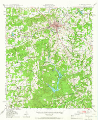
Editions of this 1949 Athens Map
3 editions found
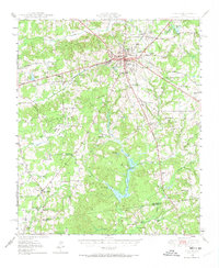
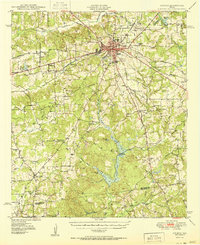
Historical Maps of Athens Through Time
8 maps found

Featured Locations
Source Details
SourceU.S. Geological Survey
CopyrightPublic Domain