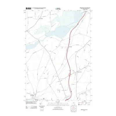
2013 Map of Brownville
USGS Topo · Published 2013About this map
Stone Mills and Gunns Corners anchor the northern reaches of this Jefferson County landscape, where the waters of Perch Lake and the Perth River define the local geography. The map reveals a dense network of country roads, such as Co Rte 16 and Military Rd, connecting small rural intersections like Scoville Corners and Noseville. To the south, the terrain transitions toward the industrial and residential corridors of Brownville and Glen Park along the banks of the Black River.
Find a feature on this map
67 named features on this map. Tap any name to fly to it.
Don’t see what you’re looking for? This feature index may not catch every label — zoom into the map to look around manually.
Map Details
Editions of this 2013 Brownville Map
This is the sole edition of this map. No revisions or reprints were ever made.
Other maps of this area

1893 · Sackets Harbor
USGS Topo · 1:62,500

1895 · Sacketts Harbor
USGS Topo · 1:62,500

1895 · Watertown
USGS Topo · 1:62,500

1898 · Watertown
USGS Topo · 1:62,500

1900 · Clayton
USGS Topo · 1:62,500

1903 · Clayton
USGS Topo · 1:62,500

1903 · Theresa
USGS Topo · 1:62,500

1908 · Watertown
USGS Topo · 1:62,500

1909 · Watertown
USGS Topo · 1:62,500

1942 · Clayton
USGS Topo · 1:24,000