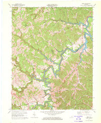
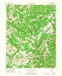
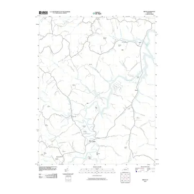
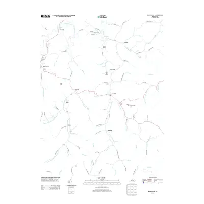
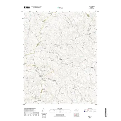
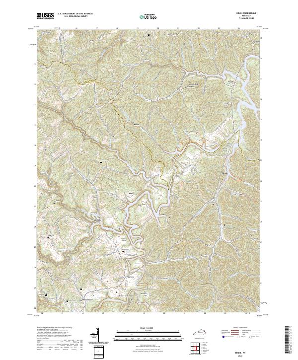
1971 Map of Bruin
USGS Topo · Published 1972About this map
Grayson Lake State Park dominates the eastern landscape of this 1971 survey, where the winding Little Sandy River is transformed by the reservoir’s rising waters. The terrain reflects the complex topography of the Cumberland Plateau, with deeply incised drainages like Big Caney Creek and Little Gimlet Creek cutting through the ridges. Small crossroads and rural settlements including Ibex, Bruin, and Newfoundland are connected by narrow valley roads and ridge-top paths, often anchored by local landmarks like Pine Springs Ch and Lakeside Sch.
Find a feature on this map
49 named features on this map. Tap any name to fly to it.
Don’t see what you’re looking for? This feature index may not catch every label — zoom into the map to look around manually.
Map Details
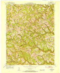
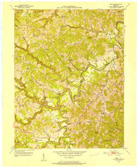
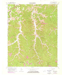
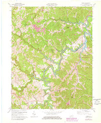
Editions of this 1971 Bruin Map
2 editions found
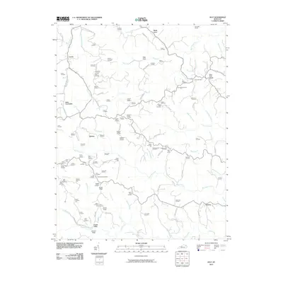
Historical Maps of Green Through Time
22 maps found
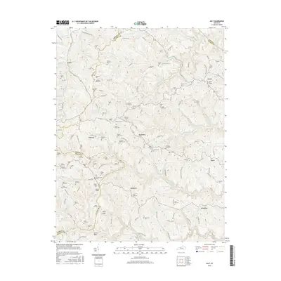
1950 Ault
Elliott County, KY
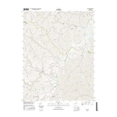
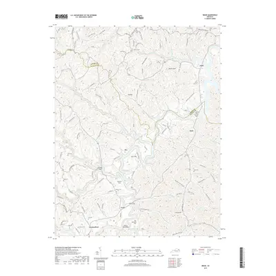
1950 Bruin
Elliott County, KY

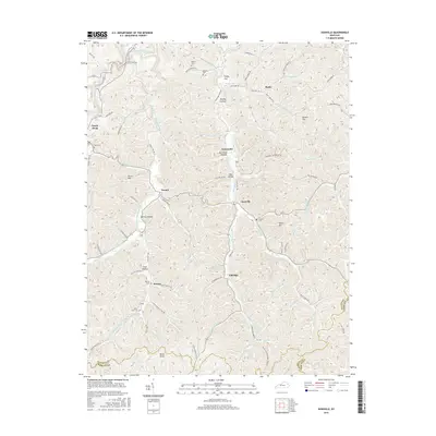
1950 Isonville
Elliott County, KY
1962 Ault
Elliott County, KY
1962 Bruin
Elliott County, KY
1962 Isonville
Elliott County, KY
1971 Bruin
Elliott County, KY
2010 Ault
Elliott County, KY
2010 Bruin
Elliott County, KY
2010 Isonville
Elliott County, KY
2013 Ault
Elliott County, KY
2013 Bruin
Elliott County, KY
2013 Isonville
Elliott County, KY
2016 Ault
Elliott County, KY
2016 Bruin
Elliott County, KY
2016 Isonville
Elliott County, KY
2019 Ault
Elliott County, KY
2019 Bruin
Elliott County, KY
2019 Isonville
Elliott County, KY
2022 Ault
Elliott County, KY
2022 Bruin
Elliott County, KY
2022 Isonville
Elliott County, KY