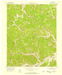
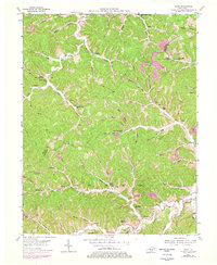
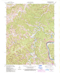
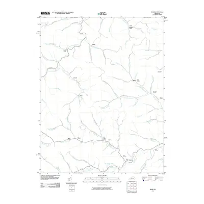
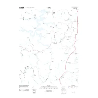
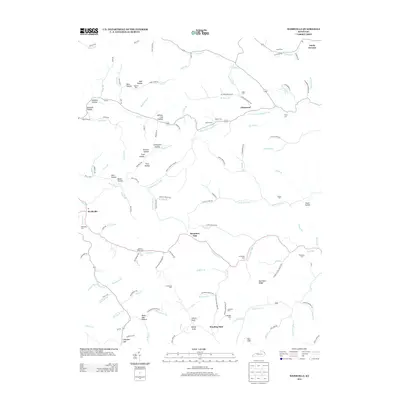
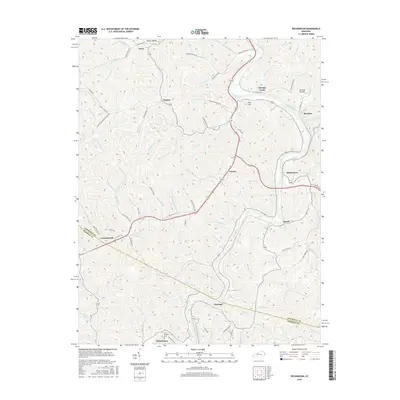
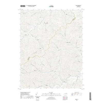
1953 Map of Mazie
USGS Topo · Published 1955About this map
The boundary of Elliott and Lawrence Counties cuts through a landscape defined by its narrow hollows and ridge-top settlements in the mid-1950s. This survey illustrates the vital role of decentralized community hubs, showing numerous country schools and churches like Upper Cains Creek School and Mazie Church that served families tucked along the various forks of the Little Sandy River. The presence of several family-named burial grounds, including the Jason Boggs Cemetery and Hay Cemetery, offers significant data for genealogists tracing ancestral homesteads in this part of Kentucky.
Find a feature on this map
76 named features on this map. Tap any name to fly to it.
Don’t see what you’re looking for? This feature index may not catch every label — zoom into the map to look around manually.
Map Details
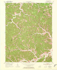
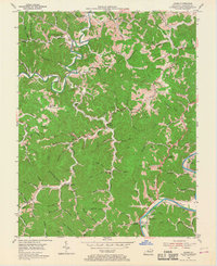
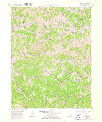
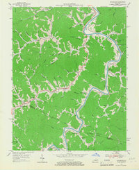
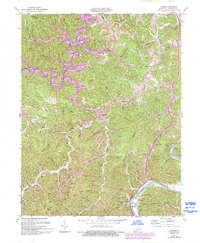
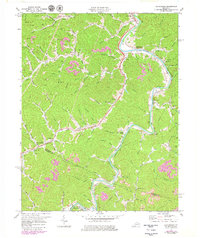
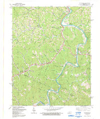
Editions of this 1953 Mazie Map
3 editions found
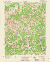
Historical Maps of Blaine Through Time
34 maps found
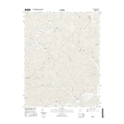
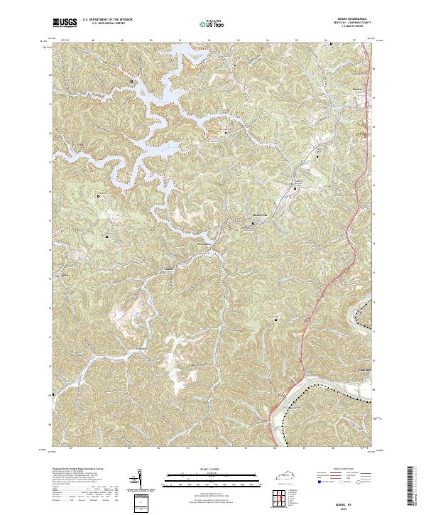
1953 Adams
Lawrence County, KY
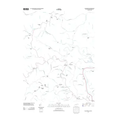
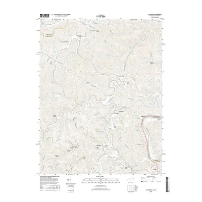
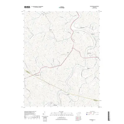
1953 Fallsburg
Lawrence County, KY
1953 Mazie
Lawrence County, KY
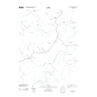
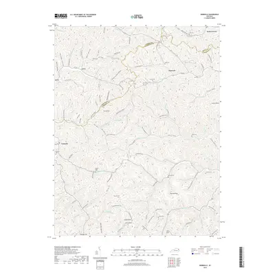
1953 Webbville
Lawrence County, KY
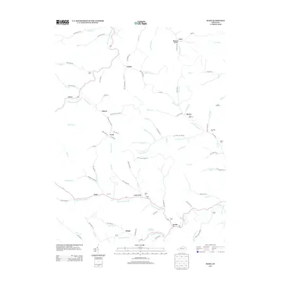
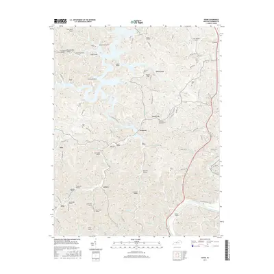
1954 Richardson
Lawrence County, KY
1971 Adams
Lawrence County, KY
1971 Fallsburg
Lawrence County, KY
1971 Richardson
Lawrence County, KY
1992 Richardson
Lawrence County, KY
2010 Adams
Lawrence County, KY
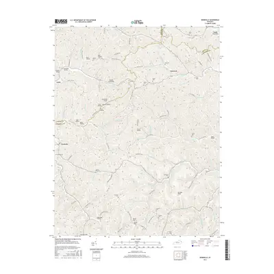
2010 Mazie
Lawrence County, KY
2010 Richardson
Lawrence County, KY
2010 Webbville
Lawrence County, KY
2011 Fallsburg
Lawrence County, KY
2013 Adams
Lawrence County, KY
2013 Fallsburg
Lawrence County, KY
2013 Mazie
Lawrence County, KY
2013 Richardson
Lawrence County, KY
2013 Webbville
Lawrence County, KY
2016 Adams
Lawrence County, KY
2016 Fallsburg
Lawrence County, KY
2016 Mazie
Lawrence County, KY
2016 Richardson
Lawrence County, KY
2016 Webbville
Lawrence County, KY
2019 Adams
Lawrence County, KY
2019 Fallsburg
Lawrence County, KY
2019 Mazie
Lawrence County, KY
2019 Richardson
Lawrence County, KY
2019 Webbville
Lawrence County, KY
2022 Adams
Lawrence County, KY
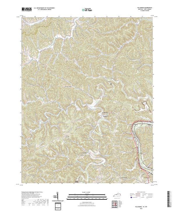
2022 Fallsburg
Lawrence County, KY
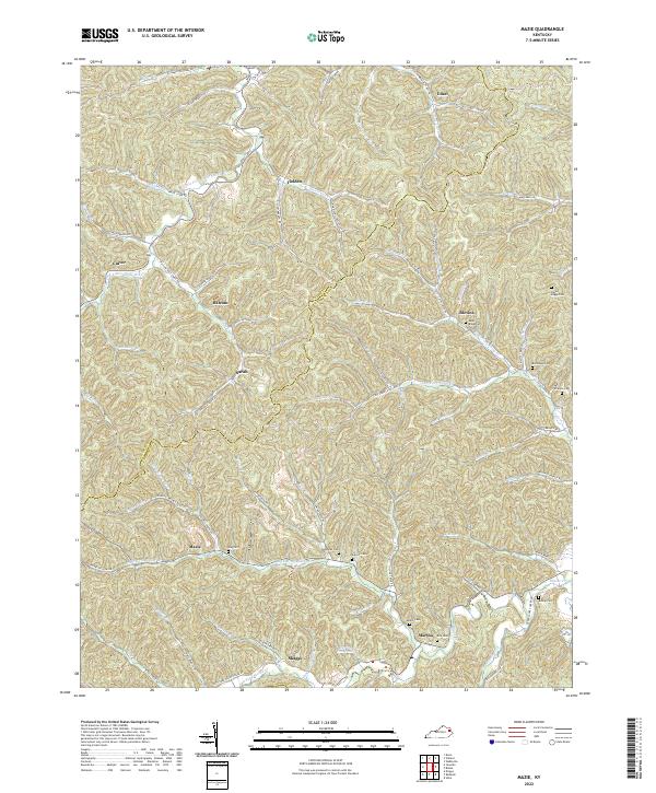
2022 Mazie
Lawrence County, KY
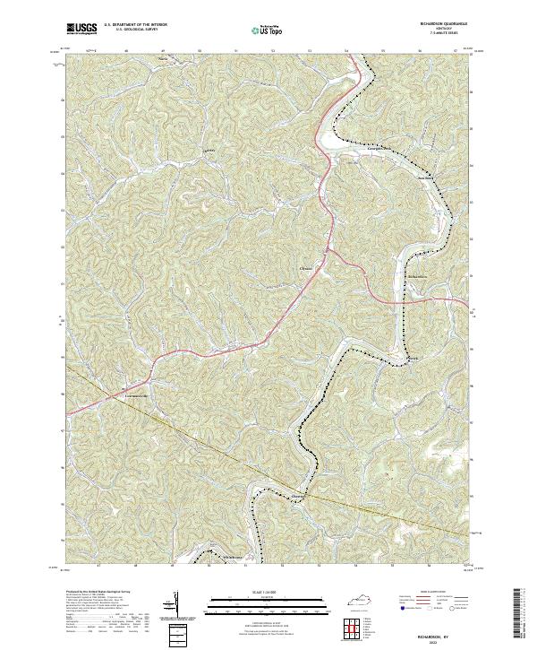
2022 Richardson
Lawrence County, KY
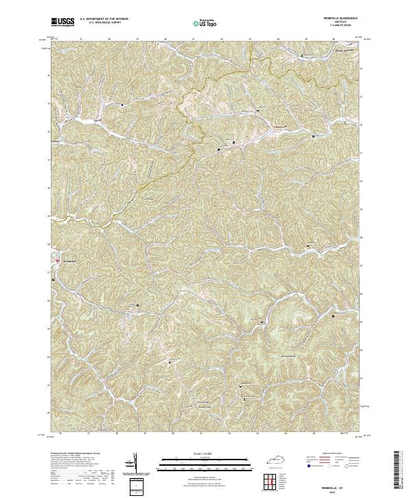
2022 Webbville
Lawrence County, KY