
1892 Map of Prestonsburg
USGS Topo · Published 1892About this map
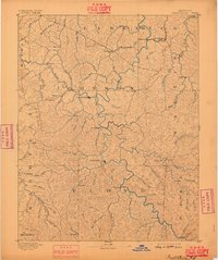
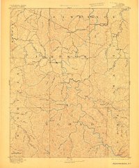
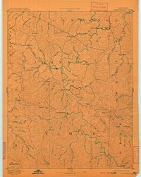
The Levisa Fork of the Big Sandy River serves as the central artery for this 1892 survey of Eastern Kentucky, anchoring a network of narrow valleys and ridges. Two primary regional centers, Prestonburg and Paintsville, dominate the river corridor, while the eastern edge is defined by the Tug Fork along the West Virginia border. This era precedes the massive industrial scale of later mining, yet the map clearly labels Peach Orchard and Peach Orchard Creek, early centers of the region's coal industry. The landscape is dotted with small, family-centric settlements such as Eden (Inez P.O.), Richardson, and Laynesville. Researchers can trace the winding paths of Beaver Creek and Johns Creek, which were vital corridors for early commerce and travel between the steep ridges of Floyd, Johnson, and Martin counties.
Find a feature on this map
84 named features on this map. Tap any name to fly to it.
Don’t see what you’re looking for? This feature index may not catch every label — zoom into the map to look around manually.
Map Details
Editions of this 1892 Prestonsburg Map
4 editions found
Other maps of this area

1886 · Prestonsburg
USGS Topo · 1:125,000

1886 · Grundy
USGS Topo · 1:125,000

1887 · Warfield
USGS Topo · 1:125,000

1889 · Salyersville
USGS Topo · 1:125,000

1890 · Whitesburg
USGS Topo · 1:125,000

1890 · Grundy
USGS Topo · 1:125,000

1891 · Hazard
USGS Topo · 1:125,000

1891 · Salyersville
USGS Topo · 1:125,000

1891 · Warfield
USGS Topo · 1:125,000

1892 · Grundy
USGS Topo · 1:125,000