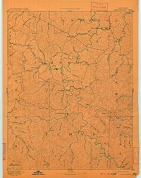
1892 Map of Prestonsburg
USGS Topo · Published 1910About this map
Paintsville and Prestonsburg serve as the primary hubs in this late-nineteenth-century survey of the Big Sandy River valley. The landscape is defined by an intricate network of narrow hollows and ridges, where life centered on the forks of Paint Creek, John Creek, and Jenny Creek. The arrival of the Chattaroi Railway in the northeast corner near Richardson and Peach Orchard Creek signals the early industrial development of the coal and timber regions in Lawrence and Martin counties.
Find a feature on this map
96 named features on this map. Tap any name to fly to it.
Don’t see what you’re looking for? This feature index may not catch every label — zoom into the map to look around manually.
Map Details
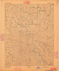
Editions of this 1892 Prestonsburg Map
4 editions found

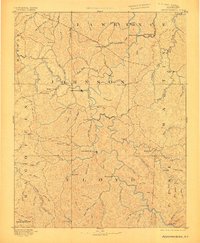
Other maps of this area

1886 · Prestonsburg
USGS Topo · 1:125,000

1886 · Grundy
USGS Topo · 1:125,000

1887 · Warfield
USGS Topo · 1:125,000

1889 · Salyersville
USGS Topo · 1:125,000

1890 · Whitesburg
USGS Topo · 1:125,000

1890 · Grundy
USGS Topo · 1:125,000

1891 · Hazard
USGS Topo · 1:125,000

1891 · Salyersville
USGS Topo · 1:125,000

1891 · Warfield
USGS Topo · 1:125,000

1892 · Grundy
USGS Topo · 1:125,000