
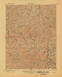
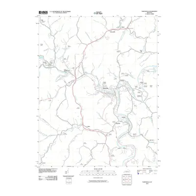
1915 Map of Paintsville
USGS Topo · Published 1915About this map
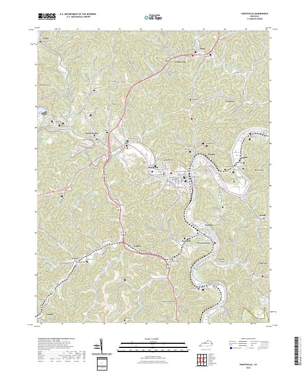
Paintsville serves as the focal point of this 1915 survey, situated at the confluence of Paint Creek and the Levisa Fork of the Big Sandy River. The landscape is dominated by the intricate drainage systems of the Cumberland Plateau, where narrow hollows are home to numerous small schoolhouses, such as School No 1 and School No 10, indicating a highly localized rural education system before the era of school consolidation.
Find a feature on this map
61 named features on this map. Tap any name to fly to it.
Don’t see what you’re looking for? This feature index may not catch every label — zoom into the map to look around manually.
Map Details
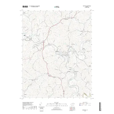
Editions of this 1915 Paintsville Map
This is the sole edition of this map. No revisions or reprints were ever made.
Historical Maps of Paintsville Through Time
11 maps found
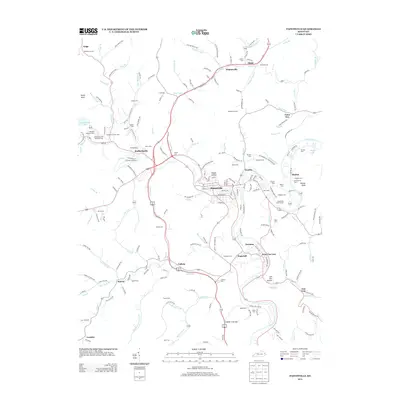
1915 Paintsville
Johnson County, KY
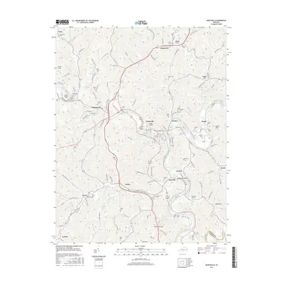
1917 Paintsville
Johnson County, KY
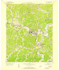
1954 Paintsville
Johnson County, KY

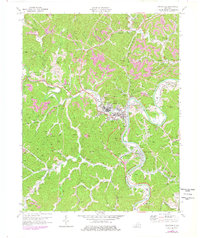
1962 Paintsville
Johnson County, KY
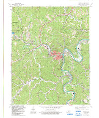
1971 Paintsville
Johnson County, KY
1992 Paintsville
Johnson County, KY
2010 Paintsville
Johnson County, KY
2013 Paintsville
Johnson County, KY
2016 Paintsville
Johnson County, KY
2019 Paintsville
Johnson County, KY
2022 Paintsville
Johnson County, KY