
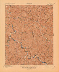
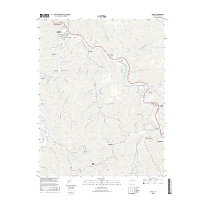
1914 Map of Laynesville
USGS Topo · Published 1914About this map
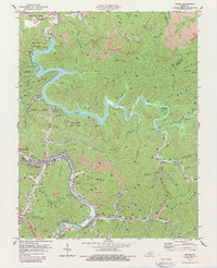
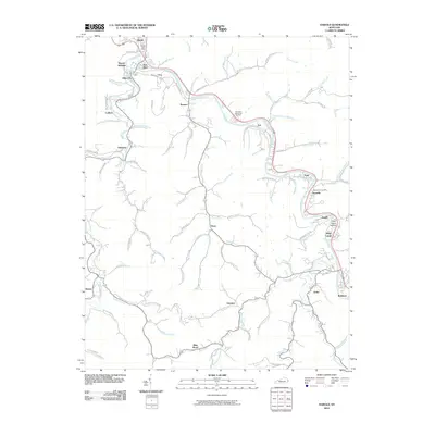
The Levisa Fork Big Sandy River carves a winding path through this 1914 survey, serving as the primary corridor for settlement and transit in eastern Kentucky. This area, spanning portions of Floyd and Pike counties, is characterized by a dense network of mountain hollows and creeks, with small communities such as Laynesville, Harold, and Ivel established along the riverbanks. The influence of early 20th-century education is prominently visible through a numbering system of rural schoolhouses, including School No 1 through School No 30, and the more substantial Sandy Valley Normal School near Banner. The presence of Ivel Sta and Betsy Layne Sta highlights the critical role of rail transport in connecting these remote river settlements. Away from the main river, narrow valleys like Johns Creek and Cow Creek are dotted with family-named landmarks and local hubs like Clevingers Store.
Find a feature on this map
97 named features on this map. Tap any name to fly to it.
Don’t see what you’re looking for? This feature index may not catch every label — zoom into the map to look around manually.
Map Details
Editions of this 1914 Laynesville Map
This is the sole edition of this map. No revisions or reprints were ever made.
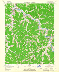
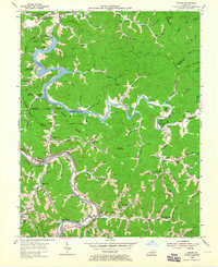
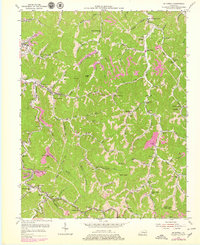
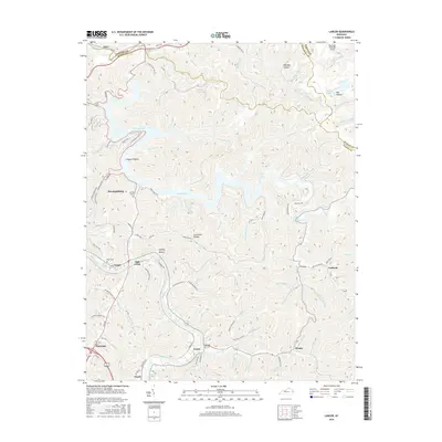
Historical Maps of Pikeville Through Time
20 maps found
1914 Laynesville
Floyd County, KY
1916 Harold
Floyd County, KY
1954 Harold
Floyd County, KY
1954 Lancer
Floyd County, KY
1954 Mc Dowell
Floyd County, KY
1978 Lancer
Floyd County, KY
1979 Harold
Floyd County, KY
1992 Harold
Floyd County, KY

1992 Lancer
Floyd County, KY
1992 Mc Dowell
Floyd County, KY
2010 Harold
Floyd County, KY
2010 Lancer
Floyd County, KY
2013 Harold
Floyd County, KY
2013 Lancer
Floyd County, KY
2016 Harold
Floyd County, KY
2016 Lancer
Floyd County, KY
2019 Harold
Floyd County, KY
2019 Lancer
Floyd County, KY
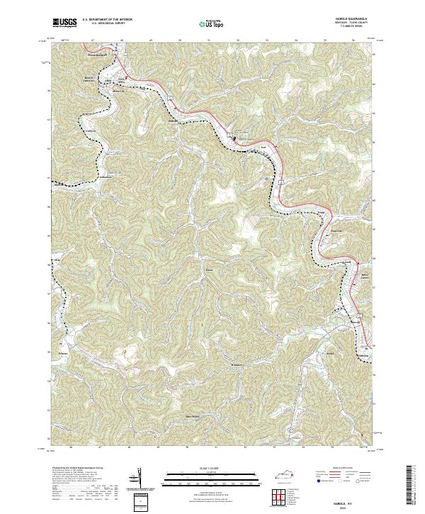
2022 Harold
Floyd County, KY
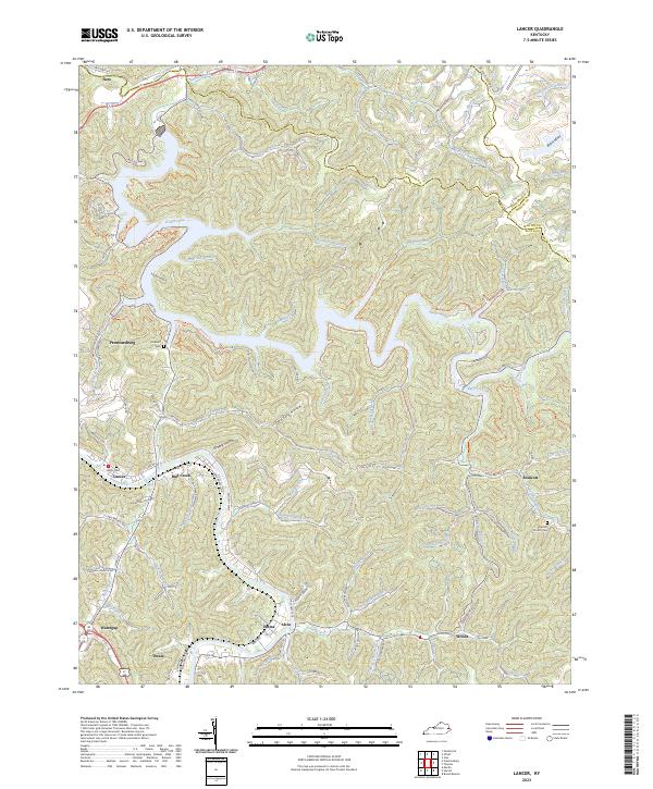
2023 Lancer
Floyd County, KY