
1892 Map of Whitesburg
USGS Topo · Published 1892About this map
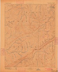
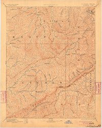
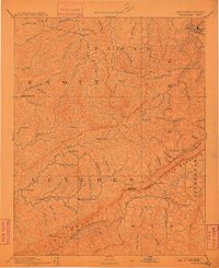
Whitesburgh serves as a central landmark in this rugged 1880s survey of the Cumberland Plateau, where the headwaters of major river systems begin their descent. The landscape is defined by the massive spine of Pine Mountain, which creates a formidable barrier between Kentucky and Virginia, breached only at strategic points like Pound Gap. Small mountain communities such as Hindman, Pikeville, and Indian Bottom are shown connected by primitive routes following the narrow creek valleys. These waterways, including the North Fork of Kentucky River and the uniquely named Kingdom Come Creek, dictate the patterns of early settlement and travel in this coal-rich region. The map captures an era before significant industrial rail expansion, showing isolated hamlets like Razor Blade and Beef Hide that reflect the localized character of late nineteenth-century Appalachian life.
Find a feature on this map
88 named features on this map. Tap any name to fly to it.
Don’t see what you’re looking for? This feature index may not catch every label — zoom into the map to look around manually.
Map Details
Editions of this 1892 Whitesburg Map
4 editions found
Other maps of this area

1886 · Prestonsburg
USGS Topo · 1:125,000

1886 · Grundy
USGS Topo · 1:125,000

1887 · Jonesville
USGS Topo · 1:125,000

1887 · Warfield
USGS Topo · 1:125,000

1889 · Salyersville
USGS Topo · 1:125,000

1890 · Whitesburg
USGS Topo · 1:125,000

1890 · Grundy
USGS Topo · 1:125,000

1891 · Hazard
USGS Topo · 1:125,000

1891 · Jonesville
USGS Topo · 1:125,000

1891 · Salyersville
USGS Topo · 1:125,000