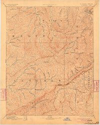
1892 Map of Whitesburg
USGS Topo · Published 1904About this map
The Pine Mountain ridge forms a massive natural barrier along the Kentucky and Virginia border, defining the rugged geography of this late 19th-century survey. High passes like Pound Gap and Shelby Gap provide the primary transit points across the mountain wall, linking Letcher and Pike counties in Kentucky with Wise and Dickenson counties in Virginia. The settlement pattern follows the intricate drainage of the North Fork of Kentucky River and the Right Fork of Beaver Creek, with small communities such as Whitesburgh and Pikeville serving as focal points for the region. Notable local landmarks like Razor Blade, Beef Hide, and Mandrake appear alongside numerous named branches and forks, reflecting a deeply dissected landscape where every hollow and ridge line held significance for early residents and surveyors alike.
Find a feature on this map
89 named features on this map. Tap any name to fly to it.
Don’t see what you’re looking for? This feature index may not catch every label — zoom into the map to look around manually.
Map Details
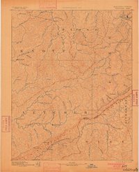
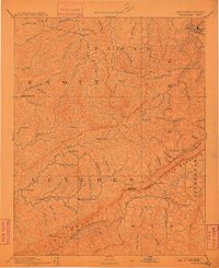
Editions of this 1892 Whitesburg Map
4 editions found

Other maps of this area

1886 · Prestonsburg
USGS Topo · 1:125,000

1886 · Grundy
USGS Topo · 1:125,000

1887 · Jonesville
USGS Topo · 1:125,000

1887 · Warfield
USGS Topo · 1:125,000

1889 · Salyersville
USGS Topo · 1:125,000

1890 · Whitesburg
USGS Topo · 1:125,000

1890 · Grundy
USGS Topo · 1:125,000

1891 · Hazard
USGS Topo · 1:125,000

1891 · Jonesville
USGS Topo · 1:125,000

1891 · Salyersville
USGS Topo · 1:125,000