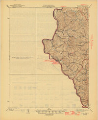
1913 Map of Louisa
USGS Topo · Published 1913About this map
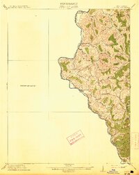
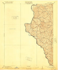
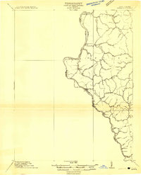
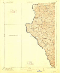
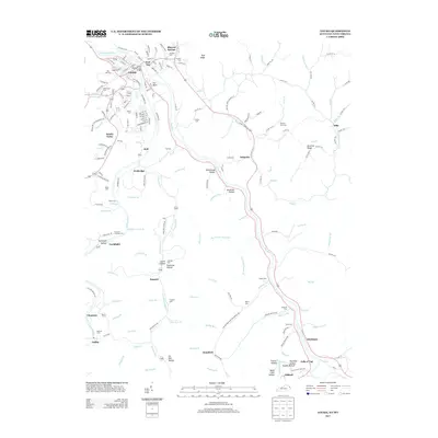
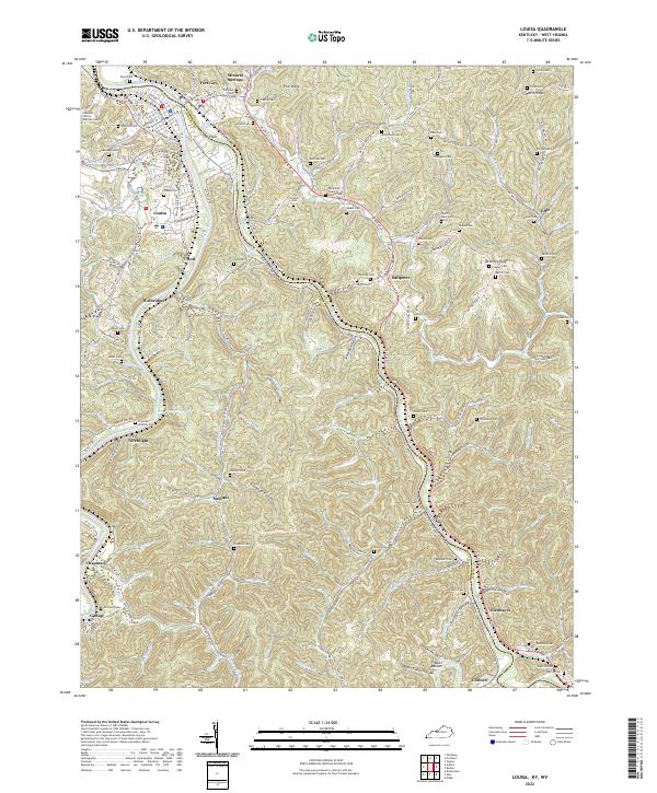
The Big Sandy River and Tug Fork define the western edge of this 1911 survey, marking the border between Kentucky and West Virginia. This region, dominated by the Butler district, shows a landscape etched by a dense network of watercourses like Queens Creek, Little Hurricane Creek, and Wolf Creek. The Norfolk and Western Ry follows the riverbanks, connecting small communities and industrial outposts.
Find a feature on this map
35 named features on this map. Tap any name to fly to it.
Don’t see what you’re looking for? This feature index may not catch every label — zoom into the map to look around manually.
Map Details
Editions of this 1913 Louisa Map
3 editions found
Historical Maps of Louisa Through Time
11 maps found
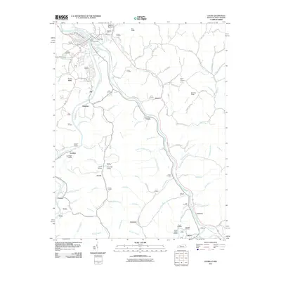
1911 Louisa
Lawrence County, KY
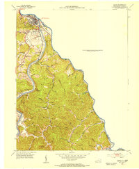
1913 Louisa
Lawrence County, KY
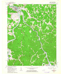
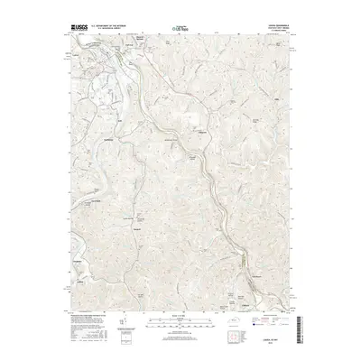
1939 Louisa
Lawrence County, KY
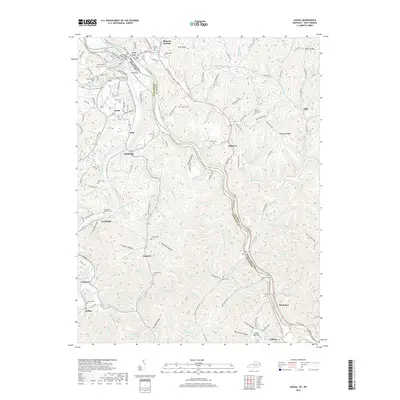
1953 Louisa
Lawrence County, KY
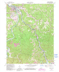
1962 Louisa
Lawrence County, KY
1971 Louisa
Lawrence County, KY
2011 Louisa
Lawrence County, KY
2013 Louisa
Lawrence County, KY
2016 Louisa
Lawrence County, KY
2019 Louisa
Lawrence County, KY
2022 Louisa
Lawrence County, KY