Loading...
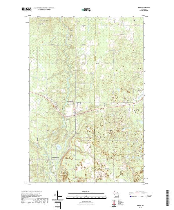
Loading map...2022 Map of Brule
USGS Topo · Published 2022About this map
The Bois Brule River snakes through the center of this northern Wisconsin landscape, its course defined by a series of named whitewater stretches including Doodlebug Rapids, Hall Rapids, and Co-op Park Rapids. The settlement of Brule serves as a central hub, while the smaller community of Winneboujou and the location of Wills reflect the historical footprint of Douglas and Bayfield counties.
Find a feature on this map
92 named features on this map. Tap any name to fly to it.
Don’t see what you’re looking for? This feature index may not catch every label — zoom into the map to look around manually.
Map Details
Date Portrayed2022
Date Published2022
PublisherU.S. Geological Survey
Map TypeTopographic
Scale1:24000
Physical Dimensions24 x 29 inches
Editions of this 2022 Brule Map
This is the sole edition of this map. No revisions or reprints were ever made.
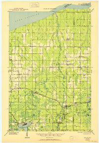
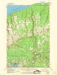
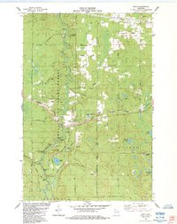
Historical Maps of Oulu Through Time
4 maps found
Featured Locations
Source Details
SourceU.S. Geological Survey
CopyrightPublic Domain