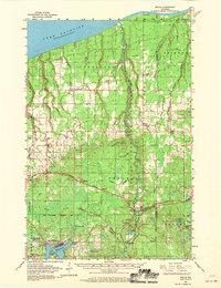
1961 Map of Brule
USGS Topo · Published 1970About this map
The Brule River State Forest dominates this landscape, protecting the corridor of the Bois Brule River as it flows north toward Brule Point on the shore of Lake Superior. The mapping reveals a distinct settlement pattern where the Northern Pacific railroad corridor serves as the primary east-west axis for towns like Blueberry, Maple, Poplar, and the village of Lake Nebagamon. These communities are surrounded by numerous gravel pits, indicating the importance of local extraction for regional infrastructure during the mid-20th century.
Find a feature on this map
70 named features on this map. Tap any name to fly to it.
Don’t see what you’re looking for? This feature index may not catch every label — zoom into the map to look around manually.
Map Details
Editions of this 1961 Brule Map
2 editions found
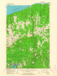
Other maps of this area

1943 · Port Wing
USGS Topo · 1:48,000

1943 · Iron Lake
USGS Topo · 1:48,000

1944 · Drummond
USGS Topo · 1:48,000

1945 · Highland
USGS Topo · 1:48,000

1945 · Solon Springs
USGS Topo · 1:48,000

1946 · Port Wing
USGS Topo · 1:48,000

1947 · Drummond
USGS Topo · 1:48,000

1947 · Brule
USGS Topo · 1:48,000

1947 · Iron Lake
USGS Topo · 1:48,000

1949 · Solon Springs
USGS Topo · 1:48,000