
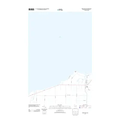
1943 Map of Port Wing
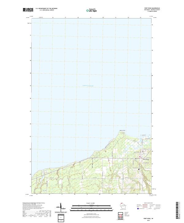
USGS Topo · Published 1952About this map
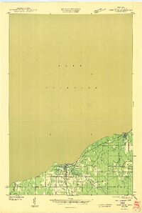
Lake Superior's southern shore dominates the northern half of this 1943 field examination, revealing the transition from the open waters of the Great Lakes to the wooded interior of Bayfield County. The settlement of Port Wing sits at the mouth of the Flag River, serving as a focal point for the surrounding rural sections. Just inland from the lake, Bibon Lake and the Greenwood Cem provide specific points of interest for genealogists and local historians tracing the early development of this coastal community.
Find a feature on this map
22 named features on this map. Tap any name to fly to it.
Don’t see what you’re looking for? This feature index may not catch every label — zoom into the map to look around manually.
Map Details
Editions of this 1943 Port Wing Map
This is the sole edition of this map. No revisions or reprints were ever made.
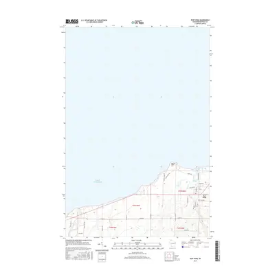
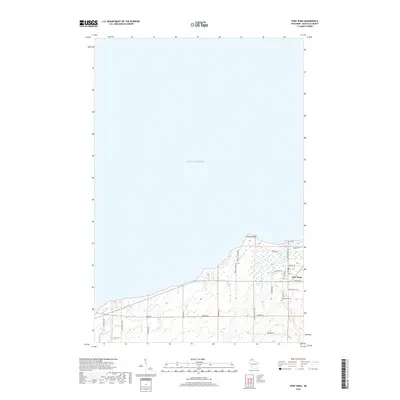
Historical Maps of Port Wing Through Time
10 maps found
1943 Port Wing
Bayfield County, WI
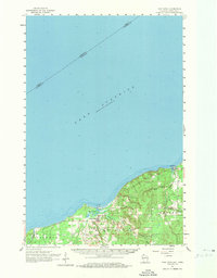
1946 Port Wing
Bayfield County, WI
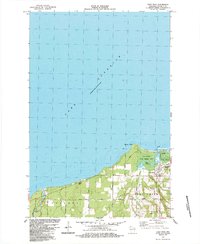
1961 Port Wing
Bayfield County, WI

1980 Port Wing
Bayfield County, WI
1984 Port Wing
Bayfield County, WI
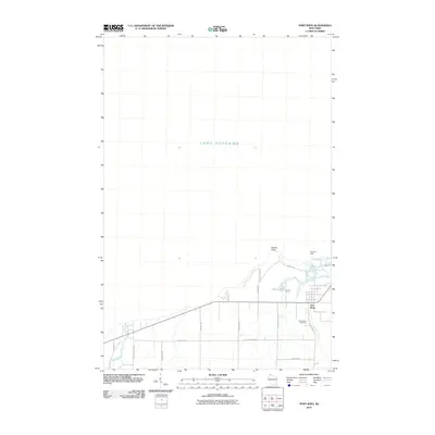
2010 Port Wing
Bayfield County, WI
2013 Port Wing
Bayfield County, WI
2015 Port Wing
Bayfield County, WI
2018 Port Wing
Bayfield County, WI
2022 Port Wing
Bayfield County, WI