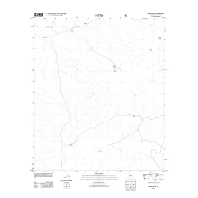
2012 Map of Bruno Peak
USGS Topo · Published 2012About this map
Bruno Canyon and its many tributaries dominate this remote corner of Cochise County, where the landscape is defined by high desert ranching and rugged topography. The presence of the Rucker Cem near the intersection of Rucker Canyon Rd and Leslie Canyon Rd points to the early settlement of the area, providing a key landmark for genealogical research. Scattered across the drainage basins of North Bruno Canyon and South Bruno Canyon are numerous water tanks, including Winkler Tank and Willcox Tank, essential for sustaining the local ranching operations. Named outposts such as OK Ranch, J Bar A Ranch, and Bar Boot Ranch illustrate the traditional land use that persists here. Rising above these canyons is Bruno Peak and the adjacent Bruno Saddle, landmarks that have long served as navigational markers in this arid environment.
Find a feature on this map
21 named features on this map. Tap any name to fly to it.
Don’t see what you’re looking for? This feature index may not catch every label — zoom into the map to look around manually.
Map Details
Editions of this 2012 Bruno Peak Map
This is the sole edition of this map. No revisions or reprints were ever made.
Other maps of this area
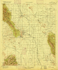
1916 · Pearce
USGS Topo · 1:125,000
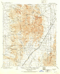
1917 · Chiricahua
USGS Topo · 1:125,000
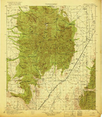
1919 · Chiricahua
USGS Topo · 1:125,000
1922 · Swisshelm
USGS Topo · 1:62,500
1926 · Light
USGS Topo · 1:62,500
1926 · Rucker
USGS Topo · 1:62,500
1926 · Pedregosa
USGS Topo · 1:62,500
1955 · Douglas
USGS Topo · 1:250,000
1958 · Chiricahua Peak
USGS Topo · 1:62,500
1958 · Squaretop Hills
USGS Topo · 1:62,500