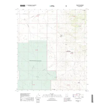
2018 Map of Bruno Peak
USGS Topo · Published 2018About this map
The Chiricahua Mountains and Pedregosa Mountains dominate this high-desert landscape in Cochise County, where the topography shifts between sharp ridges and alluvial fans. The convergence of the Coronado National Forest and the Leslie Canyon National Wildlife Refuge underscores the protected status of this corner of Arizona, preserved for its unique ecological transitions.
Find a feature on this map
33 named features on this map. Tap any name to fly to it.
Don’t see what you’re looking for? This feature index may not catch every label — zoom into the map to look around manually.
Map Details
Editions of this 2018 Bruno Peak Map
This is the sole edition of this map. No revisions or reprints were ever made.
Other maps of this area
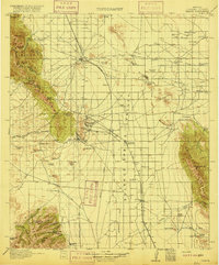
1916 · Pearce
USGS Topo · 1:125,000
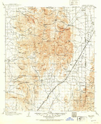
1917 · Chiricahua
USGS Topo · 1:125,000
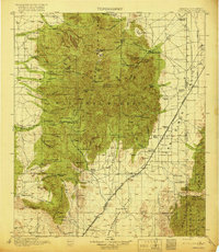
1919 · Chiricahua
USGS Topo · 1:125,000
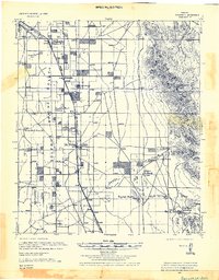
1922 · Swisshelm
USGS Topo · 1:62,500
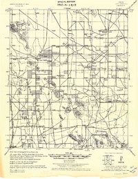
1926 · Light
USGS Topo · 1:62,500
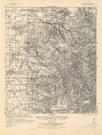
1926 · Rucker
USGS Topo · 1:62,500
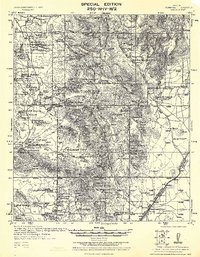
1926 · Pedregosa
USGS Topo · 1:62,500
1955 · Douglas
USGS Topo · 1:250,000
1958 · Chiricahua Peak
USGS Topo · 1:62,500
1958 · Squaretop Hills
USGS Topo · 1:62,500