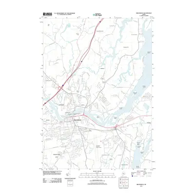
2011 Map of Brunswick
USGS Topo · Published 2011About this map
The Androscoggin River serves as the central artery for this coastal Maine landscape, dividing the communities of Topsham and Brunswick. This 2011 survey reveals a region defined by its significant military and civic infrastructure, most notably the expansive Brunswick Naval Air Station Airport occupying a large portion of the southern terrain. The area's agricultural and social history is visible at the Topsham Fairgrounds, while the industrial history of the river is marked by the Topsham Dam and Brunswick Dam.
Find a feature on this map
154 named features on this map. Tap any name to fly to it.
Don’t see what you’re looking for? This feature index may not catch every label — zoom into the map to look around manually.
Map Details
Editions of this 2011 Brunswick Map
This is the sole edition of this map. No revisions or reprints were ever made.
Other maps of this area

1892 · Gardiner
USGS Topo · 1:62,500

1892 · Freeport
USGS Topo · 1:62,500

1894 · Bath
USGS Topo · 1:62,500

1908 · Lewiston
USGS Topo · 1:62,500

1920 · Bath
USGS Topo · 1:62,500

1941 · Freeport
USGS Topo · 1:62,500

1942 · Lewiston
USGS Topo · 1:62,500

1943 · Gardiner
USGS Topo · 1:62,500

1944 · Freeport
USGS Topo · 1:62,500

1945 · Bath
USGS Topo · 1:62,500