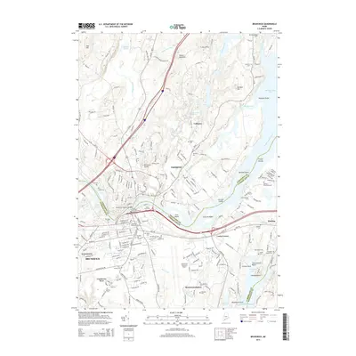
2014 Map of Brunswick
USGS Topo · Published 2014About this map
Bowdoin Coll anchors the southern portion of the village of Brunswick, while the Androscoggin River winds through the center of this coastal landscape. The connection between Topsham and Brunswick is established by the Brunswick-Topsham Bridge, a vital artery for the region's movement. To the northeast, the geography opens into the expansive waters of Merrymeeting Bay, where the Cathance River and Muddy River converge. This survey documents a high concentration of genealogical sites, from the Ancient Burying Ground and Riverview Cem near the riverbanks to the more secluded Heuston Burying Ground and Annie Simpson Grave. The presence of the Brunswick Executive Airport and Brunswick Station highlights the area's continued role as a transportation hub. Further east, the coast is defined by Thomas Bay and the popular Thomas Point Beach, where the land fragments into points and islands like Driscoll Island and Cow Island.
Find a feature on this map
73 named features on this map. Tap any name to fly to it.
Don’t see what you’re looking for? This feature index may not catch every label — zoom into the map to look around manually.
Map Details
Editions of this 2014 Brunswick Map
This is the sole edition of this map. No revisions or reprints were ever made.
Other maps of this area

1892 · Gardiner
USGS Topo · 1:62,500

1892 · Freeport
USGS Topo · 1:62,500

1894 · Bath
USGS Topo · 1:62,500

1908 · Lewiston
USGS Topo · 1:62,500

1920 · Bath
USGS Topo · 1:62,500

1941 · Freeport
USGS Topo · 1:62,500

1942 · Lewiston
USGS Topo · 1:62,500

1943 · Gardiner
USGS Topo · 1:62,500

1944 · Freeport
USGS Topo · 1:62,500

1945 · Bath
USGS Topo · 1:62,500