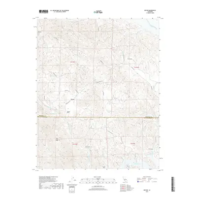
2018 Map of Bryson
USGS Topo · Published 2018About this map
Bryson sits at the center of this 2018 survey, marking a pocket of settlement where the Santa Lucia Range meets the drainages of the Nacimiento River and San Antonio River. The landscape is defined by its deep valleys and prominent peaks, including Bold Mtn in the northwest and the winding elevations of The Cantinas to the southeast. Roads like Sapaque Rd and Bryson Hesperia Rd trace the natural contours of the Sapaque Valley, illustrating how the local geography dictates the path of travel and commerce between the high ridges.
Find a feature on this map
38 named features on this map. Tap any name to fly to it.
Don’t see what you’re looking for? This feature index may not catch every label — zoom into the map to look around manually.
Map Details
Editions of this 2018 Bryson Map
This is the sole edition of this map. No revisions or reprints were ever made.
Other maps of this area

1919 · Bryson
USGS Topo · 1:62,500

1919 · Bradley
USGS Topo · 1:62,500

1919 · Adelaida
USGS Topo · 1:62,500

1919 · San Simeon
USGS Topo · 1:62,500

1932 · Adelaida
USGS Topo · 1:62,500

1937 · San Simeon
USGS Topo · 1:62,500

1941 · Bradley
USGS Topo · 1:62,500

1941 · Bryson
USGS Topo · 1:62,500

1942 · Adelaida
USGS Topo · 1:62,500

1942 · Bryson
USGS Topo · 1:62,500