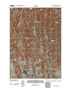
2011 Map of Buckbrush Creek
USGS Topo · Published 2011About this map
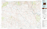
Buckbrush Reservoir and the drainage of Buckbrush Creek anchor this high desert landscape in Malheur County during the early 21st century. The terrain is defined by a series of distinct buttes and basins, most notably Buckbrush Poison Butte, Big Poison Butte, and Little Poison Butte in the center of the sheet, while Log Creek Basin occupies the northwest corner. A network of primitive roads, such as Buckbrush Rd and Clover Creek Rd, provides access to several critical water sources including Upper Mud Spring, Chalk Spring, and Bull Spring. To the east, the landscape transitions toward Soldiers Canyon Reservoir and N G Creek Reservoir, reflecting the essential water management infrastructure required for ranching and land use in this arid region. This survey captures a moment in the modern management of these traditional range lands.
Find a feature on this map
27 named features on this map. Tap any name to fly to it.
Don’t see what you’re looking for? This feature index may not catch every label — zoom into the map to look around manually.
Map Details
Editions of this 2011 Buckbrush Creek Map
This is the sole edition of this map. No revisions or reprints were ever made.
Other maps of this area

1955 · Baker
USGS Topo · 1:250,000
1955 · Boise
USGS Topo · 1:250,000
1958 · Boise
USGS Topo · 1:250,000

1959 · Baker
USGS Topo · 1:250,000
1962 · Boise
USGS Topo · 1:250,000
1964 · Brogan
USGS Topo · 1:62,500
1966 · Clover Creek Ranch
USGS Topo · 1:62,500
1966 · Harper
USGS Topo · 1:62,500
1966 · Westfall Butte
USGS Topo · 1:62,500
1980 · Brogan
USGS Topo · 1:100,000