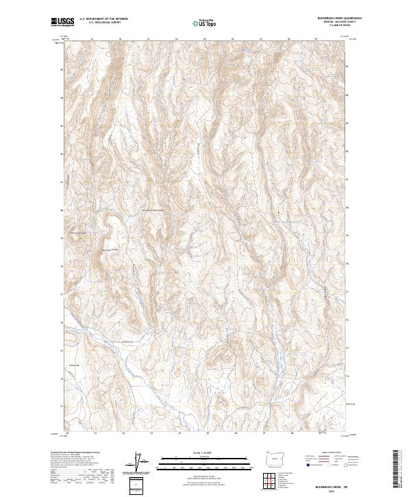
2023 Map of Buckbrush Creek
USGS Topo · Published 2023About this map
Buckbrush Creek winds through this arid expanse of Malheur County, carving a path through a landscape defined by dramatic volcanic features and essential water improvements. The map illustrates a region where water management is critical for land use, highlighted by the Soldiers Canyon Reservoir and the N G Cr Reservoir. The terrain is marked by distinctive landmarks such as Buckbrush Poison Butte, Little Poison Butte, and Big Poison Butte, suggesting a history of cautious navigation by early ranchers. Settlement patterns here are sparse, tethered primarily to the road network including Buckbrush Rd and Bully Creek Rd. Named springs like Skeleton Spring and Chalk Spring dot the topography, serving as vital points in an otherwise dry drainage system that includes Pancake Creek and Clover Creek.
Find a feature on this map
30 named features on this map. Tap any name to fly to it.
Don’t see what you’re looking for? This feature index may not catch every label — zoom into the map to look around manually.
Map Details
Editions of this 2023 Buckbrush Creek Map
This is the sole edition of this map. No revisions or reprints were ever made.
Other maps of this area

1955 · Baker
USGS Topo · 1:250,000

1955 · Boise
USGS Topo · 1:250,000

1958 · Boise
USGS Topo · 1:250,000

1959 · Baker
USGS Topo · 1:250,000

1962 · Boise
USGS Topo · 1:250,000

1964 · Brogan
USGS Topo · 1:62,500

1966 · Clover Creek Ranch
USGS Topo · 1:62,500

1966 · Harper
USGS Topo · 1:62,500

1966 · Westfall Butte
USGS Topo · 1:62,500

1980 · Brogan
USGS Topo · 1:100,000