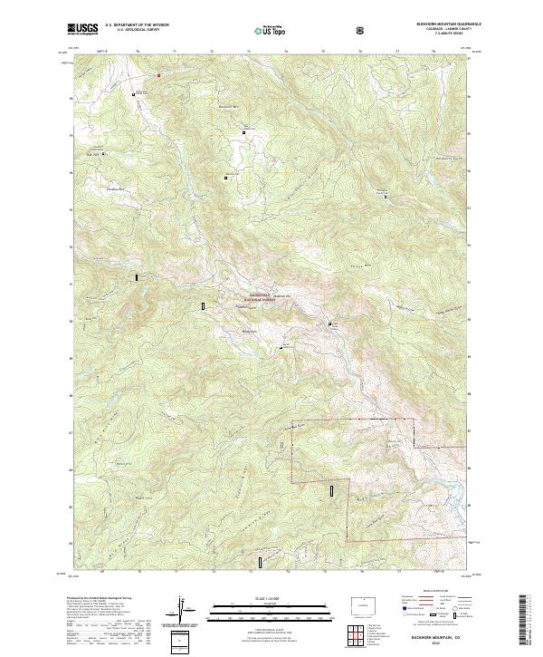
2022 Map of Buckhorn Mountain
USGS Topo · Published 2022About this map
Family burials and high-altitude ridges characterize this portion of the Roosevelt National Forest in Larimer County. The landscape is marked by numerous private family plots, including the Vannorsdel Family Cem, Lass Family Cem, and Thomson Cem, alongside individual markers like the Charles C Green Grave near High Park. This concentration of family cemeteries suggests a history of remote homesteading and legacy ranching in the valleys between Buckhorn Mtn and Christ Mtn.
Find a feature on this map
59 named features on this map. Tap any name to fly to it.
Don’t see what you’re looking for? This feature index may not catch every label — zoom into the map to look around manually.
Map Details
Editions of this 2022 Buckhorn Mountain Map
This is the sole edition of this map. No revisions or reprints were ever made.
Other maps of this area

1905 · Mount Olympus
USGS Topo · 1:62,500

1906 · Loveland
USGS Topo · 1:62,500

1906 · Fort Collins
USGS Topo · 1:62,500

1907 · Mount Olympus
USGS Topo · 1:62,500

1907 · Livermore
USGS Topo · 1:125,000

1908 · Loveland
USGS Topo · 1:62,500

1908 · Fort Collins
USGS Topo · 1:62,500

1909 · Livermore
USGS Topo · 1:125,000

1954 · Greeley
USGS Topo · 1:250,000

1957 · Greeley
USGS Topo · 1:250,000