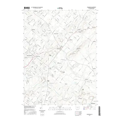
2016 Map of Buckingham
USGS Topo · Published 2016About this map
Buckingham and the surrounding Bucks County countryside exhibit a landscape where historical village centers meet modern residential expansion. The area is defined by a dense network of local roads such as Point Pleasant Pike and Concord Rd that connect numerous established settlements, including Mechanicsville, Holicong, and Lahaska. These communities often center around historical religious sites, such as the Lahaska United Methodist Church Cem and the Trinity Episcopal Church Cem.
Find a feature on this map
230 named features on this map. Tap any name to fly to it.
Don’t see what you’re looking for? This feature index may not catch every label — zoom into the map to look around manually.
Map Details
Editions of this 2016 Buckingham Map
This is the sole edition of this map. No revisions or reprints were ever made.
Other maps of this area

1890 · Lambertville
USGS Topo · 1:62,500

1890 · Doylestown
USGS Topo · 1:62,500

1890 · Burlington
USGS Topo · 1:62,500

1891 · Lambertville
USGS Topo · 1:62,500

1891 · Doylestown
USGS Topo · 1:62,500

1893 · Germantown
USGS Topo · 1:62,500

1893 · Burlington
USGS Topo · 1:62,500

1894 · Lambertville
USGS Topo · 1:62,500

1894 · Germantown
USGS Topo · 1:62,500

1896 · Germantown
USGS Topo · 1:62,500
Featured Places
- Warrington Township, PA
- Buckingham Township, PA
- Solebury Township, PA
- Doylestown, PA
- Wrightstown Township, PA