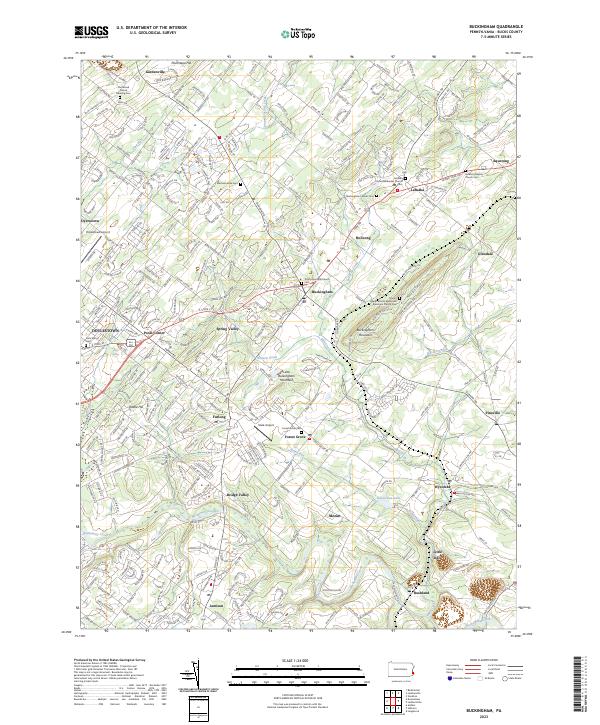
2023 Map of Buckingham
USGS Topo · Published 2023About this map
Neshaminy Creek and its many tributaries, including Robin Run and Lahaska Creek, define this area of Bucks County. The landscape is marked by a series of long-standing rural communities such as Holicong, Furlong, and Lahaska, centered around historic religious sites. One notable cultural landmark is the Gilead African Methodist Episcopal Church Cem, located near the southern slope of Buckingham Mountain. The map also captures the modern aviation presence at Doylestown Airport and the smaller Slack Airport near Forest Grove. This area reflects the transition from isolated agricultural hamlets to a more interconnected suburban network, while maintaining distinct named features like Little Italy and Bridge Valley. Genealogy researchers will find significant value in the numerous burial grounds, such as the Plumstead Friends Meeting Cem and the Mechanicsville Cem, which have anchored these communities for generations.
Find a feature on this map
279 named features on this map. Tap any name to fly to it.
Don’t see what you’re looking for? This feature index may not catch every label — zoom into the map to look around manually.
Map Details
Editions of this 2023 Buckingham Map
This is the sole edition of this map. No revisions or reprints were ever made.
Other maps of this area

1890 · Lambertville
USGS Topo · 1:62,500

1890 · Doylestown
USGS Topo · 1:62,500

1890 · Burlington
USGS Topo · 1:62,500

1891 · Lambertville
USGS Topo · 1:62,500

1891 · Doylestown
USGS Topo · 1:62,500

1893 · Germantown
USGS Topo · 1:62,500

1893 · Burlington
USGS Topo · 1:62,500

1894 · Lambertville
USGS Topo · 1:62,500

1894 · Germantown
USGS Topo · 1:62,500

1896 · Germantown
USGS Topo · 1:62,500
Featured Places
- Warrington Township, PA
- Buckingham Township, PA
- Solebury Township, PA
- Doylestown, PA
- Wrightstown Township, PA