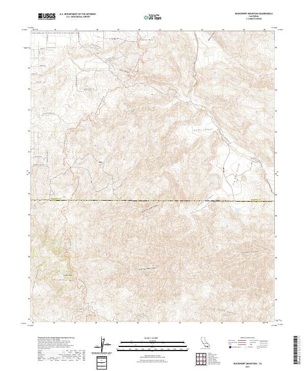
2021 Map of Bucksnort Mountain
USGS Topo · Published 2021About this map
Pacific Crest National Scenic Trl winds through this high-altitude landscape, tracing the rugged divide where the Riverside and San Diego County line meets. The terrain is defined by a series of deep drainage systems, including Nance Canyon, Tule Canyon, and Parks Canyon, which descend toward the more open Fig Tree Valley in the southeast. High points like Bucksnort Mtn and Combs Peak provide a dramatic backdrop for a network of historical routes and ranching trails, such as Old Cattle Trl, Covered Wagon Trl, and Broken Wheel Trl. Isolated water sources like Tule Spring and Mangalar Spring serve as critical landmarks in this arid environment, while the presence of the Coyote Canyon Trl suggests a long history of travel through the canyons that dominate the eastern half of the map.
Find a feature on this map
77 named features on this map. Tap any name to fly to it.
Don’t see what you’re looking for? This feature index may not catch every label — zoom into the map to look around manually.
Map Details
Editions of this 2021 Bucksnort Mountain Map
This is the sole edition of this map. No revisions or reprints were ever made.
Other maps of this area

1901 · Southern California Sheet No. 1
USGS Topo · 1:250,000

1901 · San Jacinto
USGS Topo · 1:125,000

1903 · Ramona
USGS Topo · 1:125,000

1904 · Indio
USGS Topo · 1:125,000

1904 · Southern California Sheet No. 2
USGS Topo · 1:250,000

1904 · Southern California Sheet No. 1
USGS Topo · 1:250,000

1931 · Vallecito
USGS Topo · 1:125,000

1939 · Warner Springs
USGS Topo · 1:62,500

1940 · Hemet Reservoir
USGS Topo · 1:62,500

1941 · Toro Peak
USGS Topo · 1:62,500