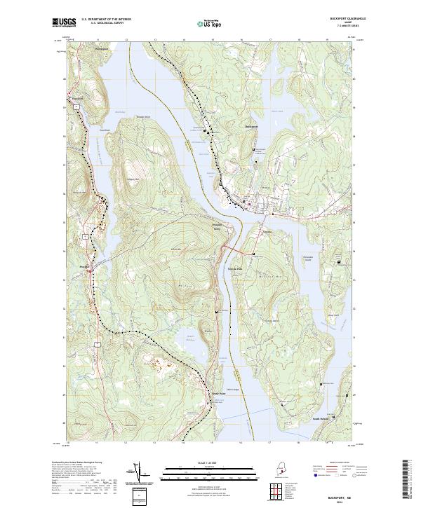
2024 Map of Bucksport
USGS Topo · Published 2024About this map
The Penobscot River serves as the dominant geographical artery here, separating the steep terrain of Waldo Co from the developed riverfront of Bucksport in Hancock Co. On the western bank, the landscape is defined by significant elevations like Mt Tuck and Heagan Mtn, while the eastern shore centers on the community of Bucksport and the adjacent Verona Island. The map meticulously records numerous family and community burial sites, including the The Narrows Cem near Sandy Point and the Saint Vincent De Paul Catholic Cem overlooking the town. Historic transit patterns are evident in the orientation of FT Knox RD and the location of Prospect Ferry, reflecting the long-standing maritime and coastal connections between these shorelines. Local water bodies such as Silver Lake and Marsh Bay provide further detail on the coastal drainage and wetland character of the region.
Find a feature on this map
120 named features on this map. Tap any name to fly to it.
Don’t see what you’re looking for? This feature index may not catch every label — zoom into the map to look around manually.
Map Details
Editions of this 2024 Bucksport Map
This is the sole edition of this map. No revisions or reprints were ever made.
Other maps of this area

1900 · Orland
USGS Topo · 1:62,500

1900 · Bucksport
USGS Topo · 1:62,500

1902 · Bucksport
USGS Topo · 1:62,500

1902 · Castine
USGS Topo · 1:62,500

1904 · Castine
USGS Topo · 1:62,500

1904 · Bluehill
USGS Topo · 1:62,500

1905 · Penobscot Bay
USGS Topo · 1:125,000

1941 · Castine
USGS Topo · 1:62,500

1942 · Orland
USGS Topo · 1:62,500

1942 · Bucksport
USGS Topo · 1:62,500