
1904 Map of Bluehill
USGS Topo · Published 1904About this map
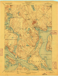
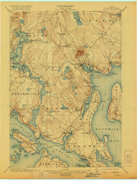
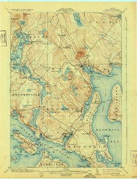
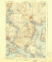
The coastal peninsula and islands of Hancock County are captured in this 1902 survey, a landscape defined by its deep saltwater inlets and granite-backed hills. The settlement of Bluehill serves as a central hub, connected to the surrounding countryside where Bluehill Mineral Spring and numerous ponds like Norris Pond and First Pond dot the interior. To the south, the intricate coastline around Sedgwick and Brooklin reveals a seafaring economy, with Steamboat routes weaving through Eggemoggin Reach and stopping at Haven and Center Harbor.
Find a feature on this map
114 named features on this map. Tap any name to fly to it.
Don’t see what you’re looking for? This feature index may not catch every label — zoom into the map to look around manually.
Map Details
Editions of this 1904 Bluehill Map
5 editions found
Other maps of this area

1900 · Orland
USGS Topo · 1:62,500

1900 · Bucksport
USGS Topo · 1:62,500

1902 · Bucksport
USGS Topo · 1:62,500

1902 · Castine
USGS Topo · 1:62,500

1904 · Deer Isle
USGS Topo · 1:62,500

1904 · Castine
USGS Topo · 1:62,500

1904 · Mount Desert
USGS Topo · 1:62,500

1904 · Swan Island
USGS Topo · 1:62,500

1904 · Vinalhaven
USGS Topo · 1:62,500

1905 · Penobscot Bay
USGS Topo · 1:125,000