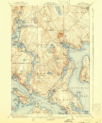
1904 Map of Blue Hill
USGS Topo · Published 1942About this map
Blue Hill and the surrounding coastal peninsulas of Hancock County are captured here in a 1901 survey, reflecting a maritime landscape defined by granite outcroppings and deep-water inlets. The topography is dominated by the prominence of Blue Hill itself, while the coastal reaches are dotted with granite-focused settlements and seasonal retreats. The map highlights the specialized local geography, including the Blue Hill Mineral Spring and the tidal dynamics at Blue Hill Falls.
Find a feature on this map
110 named features on this map. Tap any name to fly to it.
Don’t see what you’re looking for? This feature index may not catch every label — zoom into the map to look around manually.
Map Details
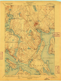
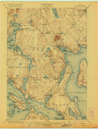
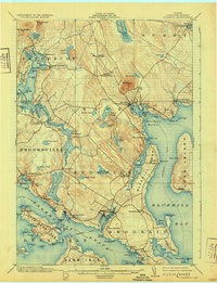
Editions of this 1904 Blue Hill Map
5 editions found
Other maps of this area

1900 · Orland
USGS Topo · 1:62,500

1900 · Bucksport
USGS Topo · 1:62,500

1902 · Bucksport
USGS Topo · 1:62,500

1902 · Castine
USGS Topo · 1:62,500

1904 · Deer Isle
USGS Topo · 1:62,500

1904 · Castine
USGS Topo · 1:62,500

1904 · Mount Desert
USGS Topo · 1:62,500

1904 · Swan Island
USGS Topo · 1:62,500

1904 · Bluehill
USGS Topo · 1:62,500

1904 · Vinalhaven
USGS Topo · 1:62,500