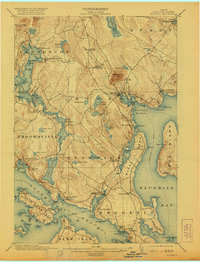
1904 Map of Bluehill
USGS Topo · Published 1921About this map
Bluehill Harbor and its surrounding coastal peninsulas are captured here in a period defined by maritime commerce and local industry. The map illustrates a landscape of established villages such as Sargentville, Sedgwick, and Haven, all connected by a web of coastal roads and a designated Steamboat Route threading through Eggemoggin Reach. Inland, the topography rises toward Montgomery Mt and Wallamatogus Mt, while the Bluehill Mineral Spring suggests the era's interest in local natural resources. The mapping of Mills Pt and various gravel deposits indicates the early industrial footprint on the coast. Genealogists and local historians can trace family-named coastal landmarks like Johnson Point, Byard Pt, and Grindle Pt, which speak to the deep-seated settlement patterns of Hancock County at the start of the 20th century.
Find a feature on this map
113 named features on this map. Tap any name to fly to it.
Don’t see what you’re looking for? This feature index may not catch every label — zoom into the map to look around manually.
Map Details
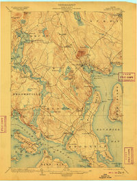
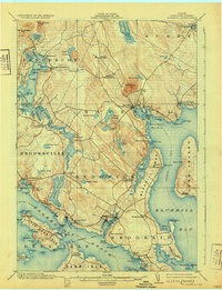
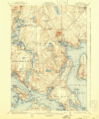
Editions of this 1904 Bluehill Map
5 editions found
Other maps of this area

1900 · Orland
USGS Topo · 1:62,500

1900 · Bucksport
USGS Topo · 1:62,500

1902 · Bucksport
USGS Topo · 1:62,500

1902 · Castine
USGS Topo · 1:62,500

1904 · Deer Isle
USGS Topo · 1:62,500

1904 · Castine
USGS Topo · 1:62,500

1904 · Mount Desert
USGS Topo · 1:62,500

1904 · Swan Island
USGS Topo · 1:62,500

1904 · Bluehill
USGS Topo · 1:62,500

1904 · Vinalhaven
USGS Topo · 1:62,500