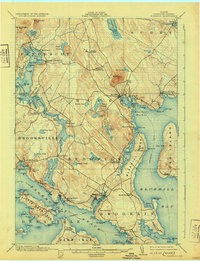
1904 Map of Bluehill
USGS Topo · Published 1931About this map
The granite heights of Blue Hill and Wallamatogus Mt anchor this coastal landscape, which was surveyed at the start of the 1900s. The region is defined by a dense network of maritime settlements including Sargentville, Sedgwick, and Brooklin, all connected by the intricate waterways of Eggemoggin Reach and the Benjamin River. A notable detail of the era's local economy and travel is the Steamboat route navigating past Long Island and Carleton Neck to reach the protected waters of Bluehill Harbor. From the Mineral Spring near North Bluehill to the mills at Mills Pt, the map reveals a working coast where topography dictated the placement of every village and landing. Genealogists will find interest in the distinct naming of coastal neighborhoods such as South Brooksville and North Brooklin, reflecting the importance of small, localized harbor communities before the age of modern highways.
Find a feature on this map
117 named features on this map. Tap any name to fly to it.
Don’t see what you’re looking for? This feature index may not catch every label — zoom into the map to look around manually.
Map Details
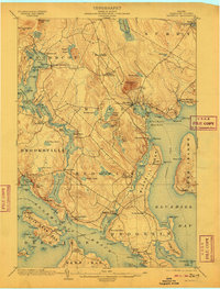
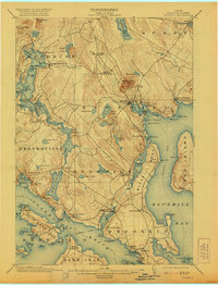
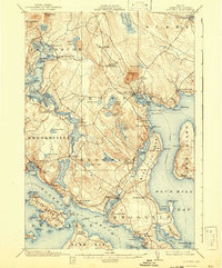
Editions of this 1904 Bluehill Map
5 editions found
Other maps of this area

1900 · Orland
USGS Topo · 1:62,500

1900 · Bucksport
USGS Topo · 1:62,500

1902 · Bucksport
USGS Topo · 1:62,500

1902 · Castine
USGS Topo · 1:62,500

1904 · Deer Isle
USGS Topo · 1:62,500

1904 · Castine
USGS Topo · 1:62,500

1904 · Mount Desert
USGS Topo · 1:62,500

1904 · Swan Island
USGS Topo · 1:62,500

1904 · Bluehill
USGS Topo · 1:62,500

1904 · Vinalhaven
USGS Topo · 1:62,500