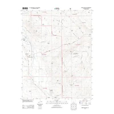
2013 Map of Buena Vista East
USGS Topo · Published 2013About this map
Arkansas River water rights and agricultural management are central to this landscape, as seen through the extensive network of irrigation infrastructure including the Bray Ditch, Helena Ditch, and Trout Cr-Ditch. The map details the transition from the valley floor settlements of Buena Vista, Johnson Village, and Nathrop into the rising elevations of the San Isabel National Forest. Topographic highlights such as Midland Hill, Sugarloaf Mountain, and Ruby Mountain define the western edge of the Sawatch Range foothills.
Find a feature on this map
66 named features on this map. Tap any name to fly to it.
Don’t see what you’re looking for? This feature index may not catch every label — zoom into the map to look around manually.
Map Details
Editions of this 2013 Buena Vista East Map
This is the sole edition of this map. No revisions or reprints were ever made.
Other maps of this area

1954 · Pueblo
USGS Topo · 1:250,000

1955 · Buena Vista
USGS Topo · 1:62,500

1956 · Antero Reservoir
USGS Topo · 1:24,000

1956 · Cameron Mountain
USGS Topo · 1:62,500

1956 · Poncha Springs
USGS Topo · 1:62,500

1956 · Montrose
USGS Topo · 1:250,000

1957 · Pueblo
USGS Topo · 1:250,000

1958 · Pueblo
USGS Topo · 1:250,000

1959 · Montrose
USGS Topo · 1:250,000

1959 · Antero Reservoir
USGS Topo · 1:62,500