
1956 Map of Poncha Springs
USGS Topo · Published 1959About this map
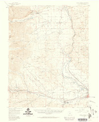
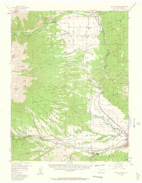
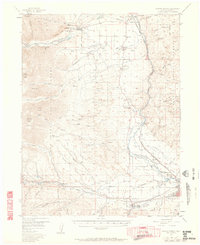
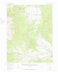
Salida and the surrounding Arkansas River valley serve as the focal point of this mid-century survey, illustrating a landscape defined by the Denver and Rio Grande Western Railroad and the mining-adjacent economy. The valley floor is dotted with small communities and essential infrastructure, from the Salida Airport and a Drive-in Theater to the industrial presence of Smeltertown. Settled areas like Poncha Springs and Maysville sit at the gateway to the high peaks of the San Isabel National Forest, where the terrain rises sharply toward Mount Princeton and the striking Chalk Cliffs. The map details a network of rural education and recreation, including Valley View Sch and the Mt Princeton Hot Springs resort area. To the north, the corridor through Nathrop and Centerville follows the river, where irrigation ditches and gravel pits suggest a blend of agriculture and resource extraction typical of Chaffee County during this era.
Find a feature on this map
83 named features on this map. Tap any name to fly to it.
Don’t see what you’re looking for? This feature index may not catch every label — zoom into the map to look around manually.
Map Details
Editions of this 1956 Poncha Springs Map
6 editions found

Other maps of this area

1940 · Garfield
USGS Topo · 1:62,500

1945 · Garfield
USGS Topo · 1:62,500

1954 · Pueblo
USGS Topo · 1:250,000

1955 · Buena Vista
USGS Topo · 1:62,500

1955 · Mount Harvard
USGS Topo · 1:62,500

1956 · Cameron Mountain
USGS Topo · 1:62,500

1956 · Montrose
USGS Topo · 1:250,000

1957 · Pueblo
USGS Topo · 1:250,000

1958 · Pueblo
USGS Topo · 1:250,000

1959 · Montrose
USGS Topo · 1:250,000