
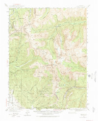
1940 Map of Garfield
USGS Topo · Published 1954About this map
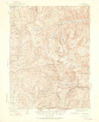
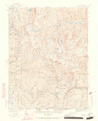
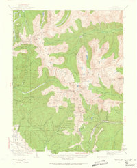
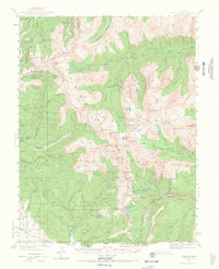
Mining operations and high-altitude settlements define this 1940s landscape along the Continental Divide. The map details a heavy concentration of industrial history near St Elmo and Romley, where the Gold Cup Republic Mine and Blistered Horn Mill indicate the intensive silver and gold extraction of the era. To the south, the Denver and Rio Grande Western railroad corridor follows the South Fork Arkansas River through Garfield and Monarch, serving as a vital transport link for the region's mineral wealth. Evidence of earlier engineering feats is found at the Old Alpine Tunnel, which pierced the ridge between Gunnison and Chaffee counties. This survey preserves the locations of numerous remote workings like the Pride of the West Mine and the Tomichi Cem, offering a comprehensive look at the human footprint in the Sawatch Range before modern shifts in the mining economy.
Find a feature on this map
99 named features on this map. Tap any name to fly to it.
Don’t see what you’re looking for? This feature index may not catch every label — zoom into the map to look around manually.
Map Details
Editions of this 1940 Garfield Map
6 editions found
Other maps of this area

1934 · Taylor Park
USGS Topo · 1:62,500

1937 · Taylor Park
USGS Topo · 1:62,500

1941 · Pitkin
USGS Topo · 1:62,500

1945 · Pitkin
USGS Topo · 1:62,500

1945 · Garfield
USGS Topo · 1:62,500

1955 · Buena Vista
USGS Topo · 1:62,500

1955 · Mount Harvard
USGS Topo · 1:62,500

1956 · Poncha Springs
USGS Topo · 1:62,500

1956 · Montrose
USGS Topo · 1:250,000

1959 · Montrose
USGS Topo · 1:250,000