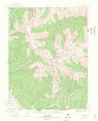
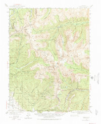
1940 Map of Garfield
USGS Topo · Published 1968About this map
Mining operations and high-altitude rail engineering dominate this section of the Continental Divide, where the border of Gunnison and Chaffee counties follows the mountain crests. The map illustrates a landscape shaped by late 19th-century resource extraction, featuring numerous industrial sites such as the Gold Cup Republic Mine, Bon Ton Mine, and the Blistered Horn Mill. Narrow-gauge rail history is preserved here through the Old Alpine Tunnel, an ambitious engineering feat that pierced the divide to connect the Gunnison and Arkansas River watersheds.
Find a feature on this map
110 named features on this map. Tap any name to fly to it.
Don’t see what you’re looking for? This feature index may not catch every label — zoom into the map to look around manually.
Map Details
Editions of this 1940 Garfield Map
6 editions found
Other maps of this area

1934 · Taylor Park
USGS Topo · 1:62,500

1937 · Taylor Park
USGS Topo · 1:62,500

1940 · Garfield
USGS Topo · 1:62,500

1941 · Pitkin
USGS Topo · 1:62,500

1945 · Pitkin
USGS Topo · 1:62,500

1945 · Garfield
USGS Topo · 1:62,500

1955 · Buena Vista
USGS Topo · 1:62,500

1955 · Mount Harvard
USGS Topo · 1:62,500

1956 · Poncha Springs
USGS Topo · 1:62,500

1956 · Montrose
USGS Topo · 1:250,000