
1956 Map of Poncha Springs
USGS Topo · Published 1970About this map
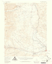
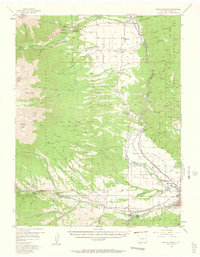
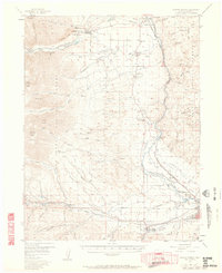
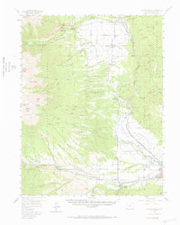
The Arkansas River serves as the central artery for this mid-century Colorado landscape, carving through Browns Canyon and Browns Canon while sustaining several small communities along its banks. The map reveals a diversified mid-1950s economy, from the heavy industry of Smeltertown and the Denver and Rio Grande Western Railroad to the recreational and wellness sites like Mt Princeton Hot Springs and Summer Camp. High-altitude geography is a defining feature, with the Chalk Cliffs and soaring peaks like Mt Princeton and Shavano Peak framing the western horizon.
Find a feature on this map
90 named features on this map. Tap any name to fly to it.
Don’t see what you’re looking for? This feature index may not catch every label — zoom into the map to look around manually.
Map Details
Editions of this 1956 Poncha Springs Map
6 editions found
Other maps of this area

1940 · Garfield
USGS Topo · 1:62,500

1945 · Garfield
USGS Topo · 1:62,500

1954 · Pueblo
USGS Topo · 1:250,000

1955 · Buena Vista
USGS Topo · 1:62,500

1955 · Mount Harvard
USGS Topo · 1:62,500

1956 · Cameron Mountain
USGS Topo · 1:62,500

1956 · Poncha Springs
USGS Topo · 1:62,500

1956 · Montrose
USGS Topo · 1:250,000

1957 · Pueblo
USGS Topo · 1:250,000

1958 · Pueblo
USGS Topo · 1:250,000