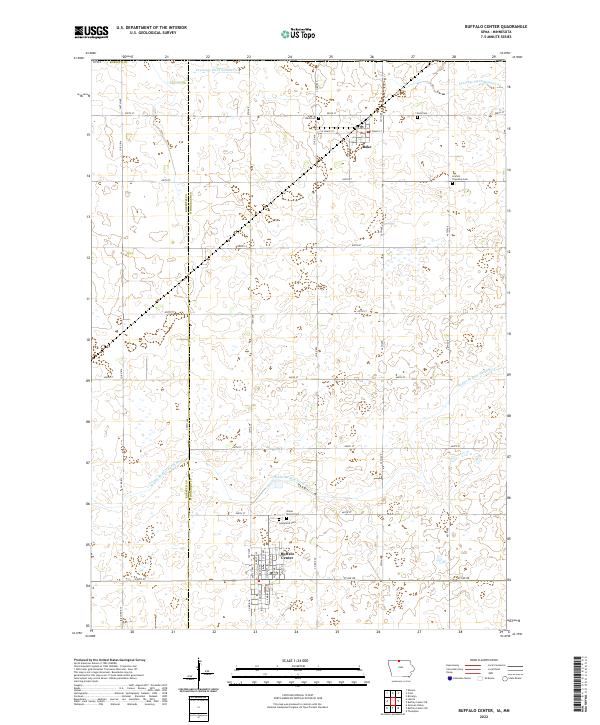
2022 Map of Buffalo Center
USGS Topo · Published 2022About this map
Buffalo Center and Rake anchor this North Central Iowa landscape, where the precision of the section-line road grid meets the winding course of the Middle Br Blue Earth River. The region's agricultural foundations are evident in the extensive water management systems, including Drainage Ditch Number 21 and Drainage Ditch Number 64, which modified the prairie to support local farming. Genealogists will find a wealth of specific local history preserved in the area's numerous burial sites, from the centrally located Graceland Cem and Olena Mound Cem near Buffalo Center to the Lincoln Township Cem, West Cem, and East Cem found further north. This topographic study documents the intersection of Kossuth and Winnebago counties, illustrating how human settlement and infrastructure have organized the open plains around these rural communities.
Find a feature on this map
37 named features on this map. Tap any name to fly to it.
Don’t see what you’re looking for? This feature index may not catch every label — zoom into the map to look around manually.
Map Details
Editions of this 2022 Buffalo Center Map
This is the sole edition of this map. No revisions or reprints were ever made.
Other maps of this area

1954 · Fairmont
USGS Topo · 1:250,000

1954 · Mason City
USGS Topo · 1:250,000

1955 · Bricelyn
USGS Topo · 1:62,500

1957 · Mason City
USGS Topo · 1:250,000

1958 · Mason City
USGS Topo · 1:250,000

1958 · Fairmont
USGS Topo · 1:250,000

1967 · Elmore
USGS Topo · 1:24,000

1972 · German Valley
USGS Topo · 1:24,000

1972 · Buffalo Center
USGS Topo · 1:24,000

1972 · Buffalo Center SW
USGS Topo · 1:24,000