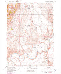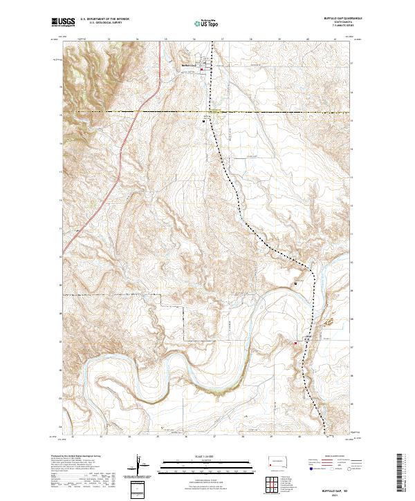
2021 Map of Buffalo Gap
USGS Topo · Published 2021About this map
The Cheyenne River winds through this southwestern South Dakota landscape, defining the transition between the rolling prairie and the breaks of the Black Hills foothills. At the heart of the region, the town of Buffalo Gap serves as a historic hub where Buffalo Junction and a network of county roads like Elk Rd and Riverside Rd converge. This 2021 study captures the area's agricultural and rural character, with the Cheyenne River valley supporting irrigation projects and several named watercourses including Spring Cr and Beaver Cr.
Find a feature on this map
39 named features on this map. Tap any name to fly to it.
Don’t see what you’re looking for? This feature index may not catch every label — zoom into the map to look around manually.
Map Details
Editions of this 2021 Buffalo Gap Map
This is the sole edition of this map. No revisions or reprints were ever made.